Area Overview for DN5 8SA
Photos of DN5 8SA
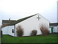
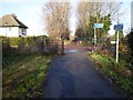
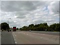
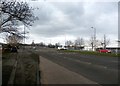
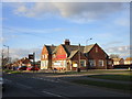
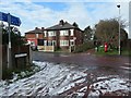
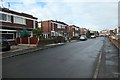
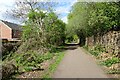
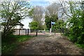
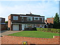


18 photos from this area
Area Information
Key information about the DN5 8SA including its size, population, and administrative classification.
- Area Type
- Postcode
- Area Size
- 9154 m²
- Population
- 2096
- Population Density
- 4488 people/km²
House Prices in DN5 8SA
20
Properties
£106,994
Average Sold Price
£39,950
Lowest Price
£201,500
Highest Price
Showing 20 properties
| Address | Type | Beds | Baths | Last Sale Price | Last Sale Date | |
|---|---|---|---|---|---|---|
| 7 Norman Crescent, Sunnyfields, Doncaster, DN5 8SA | Semi-detached | 3 | 1 | £166,500 | Mar 2024 | |
| 20 Norman Crescent, Sunnyfields, Doncaster, DN5 8SA | Semi-detached | 4 | 1 | £201,500 | Oct 2023 | |
| 12 Norman Crescent, Sunnyfields, Doncaster, DN5 8SA | house | - | - | £90,000 | Apr 2022 | |
| 4 Norman Crescent, Sunnyfields, Doncaster, DN5 8SA | Semi-detached | 3 | 1 | £102,000 | Sep 2021 | |
| 2 Norman Crescent, Sunnyfields, Doncaster, DN5 8SA | Semi-detached | 3 | 1 | £140,000 | Nov 2019 | |
| 13 Norman Crescent, Sunnyfields, Doncaster, DN5 8SA | house | 3 | 1 | £128,000 | May 2019 | |
| 9 Norman Crescent, Sunnyfields, Doncaster, DN5 8SA | house | - | - | £94,000 | Dec 2016 | |
| 19 Norman Crescent, Sunnyfields, Doncaster, DN5 8SA | house | - | - | £100,000 | May 2015 | |
| 17 Norman Crescent, Sunnyfields, Doncaster, DN5 8SA | house | - | - | £125,000 | Apr 2015 | |
| 18 Norman Crescent, Sunnyfields, Doncaster, DN5 8SA | Semi-detached | 2 | 1 | £90,000 | Jan 2015 |
Page 1 of 2
Energy Efficiency in DN5 8SA
Amenities
Schools
| Rank | School | Type | Entry gender | Ages |
|---|
Explore more schools in this area
Go to Schools tabDemographics
Household Size
Family (3-5 people)
most common
Accommodation Type
Houses
most common
Tenure
79
majority
Ethnic Group
White
most common
Religion
N/A
most common
Household Composition
N/A
most common
Age
47
median
Adults (30-64 years)
most common
Household Deprivation
N/A
with no deprivation
NS-SEC
26
in Lower managerial occupations
Explore more demographic insights in this area
Go to Demographics tabPlanning
Planning Constraints
- Flood RiskPremium
- Ramsar Wetland SitesPremium
- Area of Outstanding Natural BeautyPremium
- Protected Nature ReservePremium
- Protected WoodlandPremium