Area Overview for DN5 0AA
Photos of DN5 0AA
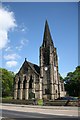
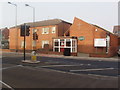
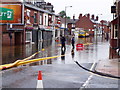
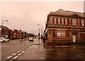
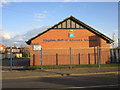
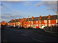
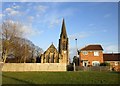
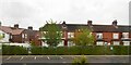
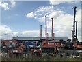
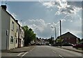
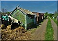
39 photos from this area
Area Information
Key information about the DN5 0AA including its size, population, and administrative classification.
- Area Type
- Postcode
- Area Size
- 4.2 hectares
- Population
- 1579
- Population Density
- 385 people/km²
House Prices in DN5 0AA
55
Properties
£185,333
Average Sold Price
£170,000
Lowest Price
£206,000
Highest Price
Showing 55 properties
| Address | Type | Beds | Baths | Last Sale Price | Last Sale Date | |
|---|---|---|---|---|---|---|
| Rear Of, 57 High Street, Bentley, Doncaster, DN5 0AA | Detached | - | - | £170,000 | Jun 2021 | |
| 61A High Street, Bentley, Doncaster, DN5 0AA | Flat | - | - | £206,000 | Dec 2018 | |
| 63A High Street, Bentley, Doncaster, DN5 0AA | Flat | - | - | £180,000 | Aug 2017 | |
| 11A High Street, Bentley, Doncaster, DN5 0AA | Flat | 3 | - | - | - | |
| 9A High Street, Bentley, Doncaster, DN5 0AA | Retail | - | - | - | - | |
| 51A High Street, Bentley, Doncaster, DN5 0AA | Flat | - | - | - | - | |
| 55 High Street, Arksey, Doncaster, DN5 0AA | Semi-detached | 4 | 2 | - | - | |
| 65A High Street, Bentley, Doncaster, DN5 0AA | Flat | 2 | 1 | - | - | |
| 13A High Street, Bentley, Doncaster, DN5 0AA | Flat | - | - | - | - | |
| 19A High Street, Bentley, Doncaster, DN5 0AA | Flat | - | - | - | - |
Page 1 of 6
Energy Efficiency in DN5 0AA
Amenities
Schools
| Rank | School | Type | Entry gender | Ages |
|---|
Explore more schools in this area
Go to Schools tabDemographics
Household Size
Two person
most common
Accommodation Type
Houses
most common
Tenure
76
majority
Ethnic Group
White
most common
Religion
N/A
most common
Household Composition
N/A
most common
Age
47
median
Adults (30-64 years)
most common
Household Deprivation
N/A
with no deprivation
NS-SEC
27
in Lower managerial occupations
Explore more demographic insights in this area
Go to Demographics tabPlanning
Planning Constraints
- Flood RiskPremium
- Ramsar Wetland SitesPremium
- Area of Outstanding Natural BeautyPremium
- Protected Nature ReservePremium
- Protected WoodlandPremium