Area Overview for DN40 3AG
Photos of DN40 3AG

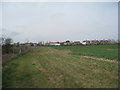
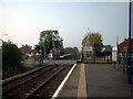
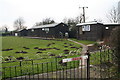
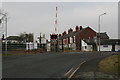
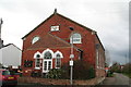

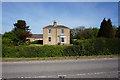
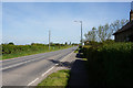
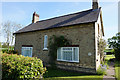
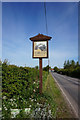
56 photos from this area
Area Information
Key information about the DN40 3AG including its size, population, and administrative classification.
- Area Type
- Postcode
- Area Size
- 1.5 hectares
- Population
- 1775
- Population Density
- 207 people/km²
House Prices in DN40 3AG
21
Properties
£154,171
Average Sold Price
£54,000
Lowest Price
£295,000
Highest Price
Showing 21 properties
| Address | Type | Beds | Baths | Last Sale Price | Last Sale Date | |
|---|---|---|---|---|---|---|
| 1 St Margarets Crescent, Habrough, DN40 3AG | house | - | - | £280,000 | Sep 2025 | |
| 21 St Margarets Crescent, Habrough, DN40 3AG | Bungalow | 3 | 1 | £215,000 | Jun 2023 | |
| 17 St Margarets Crescent, Habrough, DN40 3AG | Bungalow | - | - | £219,950 | Sep 2022 | |
| 13 St Margarets Crescent, Habrough, DN40 3AG | Bungalow | 3 | 1 | £209,000 | Dec 2021 | |
| 27 St Margarets Crescent, Habrough, DN40 3AG | Bungalow | - | - | £239,950 | Dec 2021 | |
| 29 St Margarets Crescent, Habrough, DN40 3AG | house | 4 | - | £295,000 | Jun 2018 | |
| 9 St Margarets Crescent, Habrough, DN40 3AG | Bungalow | 3 | 1 | £96,000 | Jun 2017 | |
| 23 St Margarets Crescent, Habrough, DN40 3AG | Bungalow | - | - | £130,000 | Oct 2016 | |
| 15 St Margarets Crescent, Habrough, DN40 3AG | Bungalow | - | - | £130,000 | Aug 2016 | |
| 11 St Margarets Crescent, Habrough, DN40 3AG | Bungalow | 2 | - | £105,000 | Dec 2014 |
Page 1 of 3
Energy Efficiency in DN40 3AG
Amenities
Schools
| Rank | School | Type | Entry gender | Ages |
|---|
Explore more schools in this area
Go to Schools tabDemographics
Household Size
Two person
most common
Accommodation Type
Houses
most common
Tenure
83
majority
Ethnic Group
White
most common
Religion
N/A
most common
Household Composition
N/A
most common
Age
47
median
Adults (30-64 years)
most common
Household Deprivation
N/A
with no deprivation
NS-SEC
30
in Lower managerial occupations
Explore more demographic insights in this area
Go to Demographics tabPlanning
Planning Constraints
- Flood RiskPremium
- Ramsar Wetland SitesPremium
- Area of Outstanding Natural BeautyPremium
- Protected Nature ReservePremium
- Protected WoodlandPremium