Area Overview for DN40 2AS
Photos of DN40 2AS
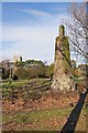
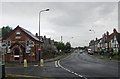
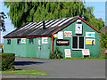
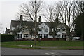
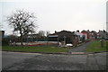
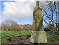

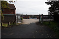
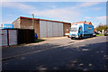
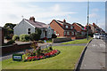
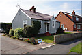
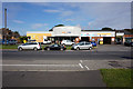
41 photos from this area
Area Information
Key information about the DN40 2AS including its size, population, and administrative classification.
- Area Type
- Postcode
- Area Size
- 5.4 hectares
- Population
- 1775
- Population Density
- 207 people/km²
House Prices in DN40 2AS
63
Properties
£193,062
Average Sold Price
£122,000
Lowest Price
£330,000
Highest Price
Showing 63 properties
| Address | Type | Beds | Baths | Last Sale Price | Last Sale Date | |
|---|---|---|---|---|---|---|
| 13 Brocklesby Avenue, Immingham, DN40 2AS | Detached | 4 | 3 | £240,000 | Sep 2025 | |
| 17 Brocklesby Avenue, Immingham, DN40 2AS | Detached | 3 | 2 | £203,000 | Aug 2025 | |
| 43 Brocklesby Avenue, Immingham, DN40 2AS | Detached | 4 | 1 | £330,000 | Mar 2025 | |
| 77 Brocklesby Avenue, Immingham, DN40 2AS | Semi-detached | 3 | 1 | £160,000 | Aug 2024 | |
| 23 Brocklesby Avenue, Immingham, DN40 2AS | Detached | 4 | 1 | £226,000 | Nov 2023 | |
| 95 Brocklesby Avenue, Immingham, DN40 2AS | house | 4 | 1 | £235,000 | Jul 2022 | |
| 79 Brocklesby Avenue, Immingham, DN40 2AS | Detached | 3 | 2 | £188,000 | Jun 2022 | |
| 37 Brocklesby Avenue, Immingham, DN40 2AS | Retail | 4 | 2 | £249,950 | Jun 2022 | |
| 7 Brocklesby Avenue, Immingham, DN40 2AS | house | - | - | £196,500 | May 2022 | |
| 49 Brocklesby Avenue, Immingham, DN40 2AS | Retail | 4 | 3 | £275,000 | May 2022 |
Page 1 of 7
Energy Efficiency in DN40 2AS
Amenities
Schools
| Rank | School | Type | Entry gender | Ages |
|---|
Explore more schools in this area
Go to Schools tabDemographics
Household Size
Two person
most common
Accommodation Type
Houses
most common
Tenure
83
majority
Ethnic Group
White
most common
Religion
N/A
most common
Household Composition
N/A
most common
Age
47
median
Adults (30-64 years)
most common
Household Deprivation
N/A
with no deprivation
NS-SEC
30
in Lower managerial occupations
Explore more demographic insights in this area
Go to Demographics tabPlanning
Planning Constraints
- Flood RiskPremium
- Ramsar Wetland SitesPremium
- Area of Outstanding Natural BeautyPremium
- Protected Nature ReservePremium
- Protected WoodlandPremium