Area Overview for DN4 0TR
Photos of DN4 0TR
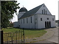

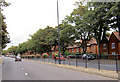
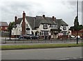
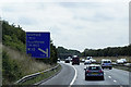
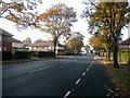
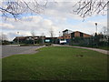
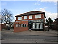
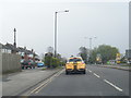

34 photos from this area
Area Information
Key information about the DN4 0TR including its size, population, and administrative classification.
- Area Type
- Postcode
- Area Size
- 8208 m²
- Population
- 1294
- Population Density
- 3481 people/km²
House Prices in DN4 0TR
15
Properties
£85,528
Average Sold Price
£39,500
Lowest Price
£155,000
Highest Price
Showing 15 properties
| Address | Type | Beds | Baths | Last Sale Price | Last Sale Date | |
|---|---|---|---|---|---|---|
| 230 Warmsworth Road, Balby, Doncaster, DN4 0TR | Semi-detached | 3 | 1 | £110,000 | Jan 2025 | |
| 254 Warmsworth Road, Balby, Doncaster, DN4 0TR | Semi-detached | 3 | 1 | £133,000 | Aug 2021 | |
| 238 Warmsworth Road, Balby, Doncaster, DN4 0TR | house | - | - | £155,000 | May 2021 | |
| 228 Warmsworth Road, Balby, Doncaster, DN4 0TR | Semi-detached | 3 | - | £92,000 | Nov 2016 | |
| 240 Warmsworth Road, Balby, Doncaster, DN4 0TR | house | - | - | £110,000 | Jul 2015 | |
| 236 Warmsworth Road, Balby, Doncaster, DN4 0TR | Semi-detached | - | - | £48,250 | May 2000 | |
| 234 Warmsworth Road, Balby, Doncaster, DN4 0TR | Semi-detached | - | - | £40,500 | Jun 1998 | |
| 252 Warmsworth Road, Balby, Doncaster, DN4 0TR | Semi-detached | - | - | £39,500 | Oct 1996 | |
| 246 Warmsworth Road, Balby, Doncaster, DN4 0TR | Semi-detached | - | - | £41,500 | Jul 1995 | |
| 256 Warmsworth Road, Balby, Doncaster, DN4 0TR | Detached | - | - | - | - |
Page 1 of 2
Energy Efficiency in DN4 0TR
Amenities
Schools
| Rank | School | Type | Entry gender | Ages |
|---|
Explore more schools in this area
Go to Schools tabDemographics
Household Size
Two person
most common
Accommodation Type
Houses
most common
Tenure
87
majority
Ethnic Group
White
most common
Religion
N/A
most common
Household Composition
N/A
most common
Age
47
median
Adults (30-64 years)
most common
Household Deprivation
N/A
with no deprivation
NS-SEC
28
in Lower managerial occupations
Explore more demographic insights in this area
Go to Demographics tabPlanning
Planning Constraints
- Flood RiskPremium
- Ramsar Wetland SitesPremium
- Area of Outstanding Natural BeautyPremium
- Protected Nature ReservePremium
- Protected WoodlandPremium