Area Overview for DN39 6SE
Photos of DN39 6SE
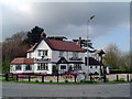
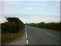
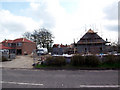
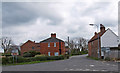
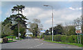
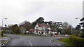
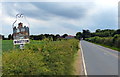
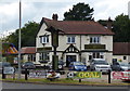
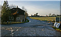
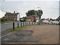
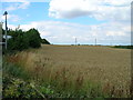
23 photos from this area
Area Information
Key information about the DN39 6SE including its size, population, and administrative classification.
- Area Type
- Postcode
- Area Size
- 22.5 hectares
- Population
- 1622
- Population Density
- 59 people/km²
House Prices in DN39 6SE
12
Properties
£314,071
Average Sold Price
£145,000
Lowest Price
£600,000
Highest Price
Showing 12 properties
| Address | Type | Beds | Baths | Last Sale Price | Last Sale Date | |
|---|---|---|---|---|---|---|
| 3 Ulceby Road, Wootton, DN39 6SE | house | - | - | £152,000 | Apr 2022 | |
| 1 Ulceby Road, Wootton, DN39 6SE | house | 2 | 1 | £145,000 | Feb 2022 | |
| 5 Ulceby Road, Wootton, DN39 6SE | Detached | 4 | 2 | £347,500 | Nov 2020 | |
| Highfield House, 17 Ulceby Road, Wootton, DN39 6SE | Detached | 5 | 4 | £600,000 | Aug 2020 | |
| 11 Ulceby Road, Wootton, DN39 6SE | Semi-detached | 2 | 1 | £309,000 | Oct 2006 | |
| Eastfield Farm, Ulceby Road, Wootton, DN39 6SE | Detached | - | - | £480,000 | Jun 2006 | |
| 9 Ulceby Road, Wootton, DN39 6SE | Detached | - | - | £165,000 | Sep 2002 | |
| New Dwelling, Eastfield Farm, Ulceby Road, Wootton, DN39 6SE | Detached | - | - | - | - | |
| Green Gables, 6 Ulceby Road, Wootton, DN39 6SE | Semi-detached | - | - | - | - | |
| Meadow View, 7 Ulceby Road, Wootton, DN39 6SE | house | - | - | - | - |
Page 1 of 2
Energy Efficiency in DN39 6SE
Amenities
Schools
| Rank | School | Type | Entry gender | Ages |
|---|
Explore more schools in this area
Go to Schools tabDemographics
Household Size
Two person
most common
Accommodation Type
Houses
most common
Tenure
71
majority
Ethnic Group
White
most common
Religion
N/A
most common
Household Composition
N/A
most common
Age
47
median
Adults (30-64 years)
most common
Household Deprivation
N/A
with no deprivation
NS-SEC
31
in Lower managerial occupations
Explore more demographic insights in this area
Go to Demographics tabPlanning
Planning Constraints
- Flood RiskPremium
- Ramsar Wetland SitesPremium
- Area of Outstanding Natural BeautyPremium
- Protected Nature ReservePremium
- Protected WoodlandPremium