Area Overview for DN38 6HP
Photos of DN38 6HP
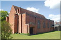
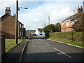
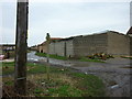
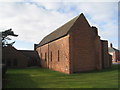
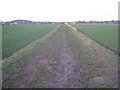
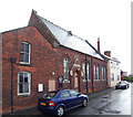
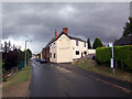
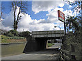
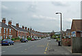
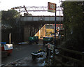
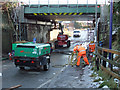
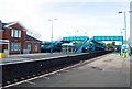
89 photos from this area
Area Information
Key information about the DN38 6HP including its size, population, and administrative classification.
- Area Type
- Postcode
- Area Size
- 1.2 hectares
- Population
- 2036
- Population Density
- 115 people/km²
House Prices in DN38 6HP
17
Properties
£116,399
Average Sold Price
£37,500
Lowest Price
£205,000
Highest Price
Showing 17 properties
| Address | Type | Beds | Baths | Last Sale Price | Last Sale Date | |
|---|---|---|---|---|---|---|
| 13 Victoria Road, Barnetby Le Wold, DN38 6HP | house | 3 | 1 | £205,000 | Jan 2025 | |
| 5 Victoria Road, Barnetby Le Wold, DN38 6HP | house | - | - | £170,000 | Feb 2022 | |
| 37 Victoria Road, Barnetby Le Wold, DN38 6HP | house | - | - | £183,500 | Nov 2021 | |
| 19 Victoria Road, Barnetby Le Wold, DN38 6HP | house | - | - | £178,580 | Jul 2021 | |
| 9 Victoria Road, Barnetby Le Wold, DN38 6HP | Semi-detached | 3 | 1 | £150,000 | Mar 2019 | |
| 21 Victoria Road, Barnetby Le Wold, DN38 6HP | Semi-detached | 4 | 1 | £143,000 | Mar 2018 | |
| 31 Victoria Road, Barnetby Le Wold, DN38 6HP | house | 3 | - | £100,000 | Jan 2014 | |
| 33 Victoria Road, Barnetby Le Wold, DN38 6HP | Terraced | 2 | 1 | £68,000 | Apr 2013 | |
| 35 Victoria Road, Barnetby Le Wold, DN38 6HP | Semi-detached | - | - | £110,000 | Jul 2004 | |
| 25 Victoria Road, Barnetby Le Wold, DN38 6HP | house | - | - | £65,000 | Dec 2000 |
Page 1 of 2
Energy Efficiency in DN38 6HP
Amenities
Schools
| Rank | School | Type | Entry gender | Ages |
|---|
Explore more schools in this area
Go to Schools tabDemographics
Household Size
Two person
most common
Accommodation Type
Houses
most common
Tenure
71
majority
Ethnic Group
White
most common
Religion
N/A
most common
Household Composition
N/A
most common
Age
47
median
Adults (30-64 years)
most common
Household Deprivation
N/A
with no deprivation
NS-SEC
27
in Lower managerial occupations
Explore more demographic insights in this area
Go to Demographics tabPlanning
Planning Constraints
- Flood RiskPremium
- Ramsar Wetland SitesPremium
- Area of Outstanding Natural BeautyPremium
- Protected Nature ReservePremium
- Protected WoodlandPremium