Area Overview for DN36 4ZA
Photos of DN36 4ZA

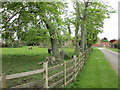

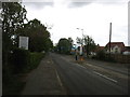
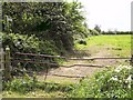
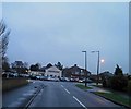
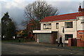
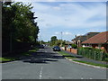
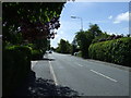

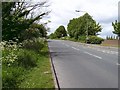
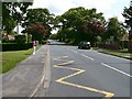
14 photos from this area
Area Information
Key information about the DN36 4ZA including its size, population, and administrative classification.
- Area Type
- Postcode
- Area Size
- 2.6 hectares
- Population
- 1313
- Population Density
- 650 people/km²
House Prices in DN36 4ZA
42
Properties
£183,087
Average Sold Price
£63,750
Lowest Price
£219,950
Highest Price
Showing 42 properties
| Address | Type | Beds | Baths | Last Sale Price | Last Sale Date | |
|---|---|---|---|---|---|---|
| 2 Hawthorne Road, Humberston, DN36 4ZA | Bungalow | 2 | 1 | £190,000 | Apr 2025 | |
| 27 Hawthorne Road, Humberston, DN36 4ZA | Detached | 2 | 1 | £199,995 | Jul 2024 | |
| 37 Hawthorne Road, Humberston, DN36 4ZA | Bungalow | - | - | £205,000 | Jun 2024 | |
| 16 Hawthorne Road, Humberston, DN36 4ZA | Bungalow | - | - | £63,750 | Oct 2023 | |
| 10 Hawthorne Road, Humberston, DN36 4ZA | Retail | 2 | 1 | £205,000 | Jun 2022 | |
| 33 Hawthorne Road, Humberston, DN36 4ZA | Bungalow | - | - | £175,000 | Feb 2022 | |
| 11 Hawthorne Road, Humberston, DN36 4ZA | Bungalow | 2 | 1 | £218,000 | Dec 2021 | |
| 39 Hawthorne Road, Humberston, DN36 4ZA | Bungalow | - | - | £217,500 | Sep 2021 | |
| 38 Hawthorne Road, Humberston, DN36 4ZA | Bungalow | - | - | £184,950 | Jul 2021 | |
| 28 Hawthorne Road, Humberston, DN36 4ZA | Detached | - | - | £207,500 | Jul 2021 |
Page 1 of 5
Energy Efficiency in DN36 4ZA
Amenities
Schools
| Rank | School | Type | Entry gender | Ages |
|---|
Explore more schools in this area
Go to Schools tabDemographics
Household Size
Two person
most common
Accommodation Type
Houses
most common
Tenure
92
majority
Ethnic Group
White
most common
Religion
N/A
most common
Household Composition
N/A
most common
Age
47
median
Adults (30-64 years)
most common
Household Deprivation
N/A
with no deprivation
NS-SEC
32
in Lower managerial occupations
Explore more demographic insights in this area
Go to Demographics tabPlanning
Planning Constraints
- Flood RiskPremium
- Ramsar Wetland SitesPremium
- Area of Outstanding Natural BeautyPremium
- Protected Nature ReservePremium
- Protected WoodlandPremium