Area Overview for DN36 4WB
Photos of DN36 4WB
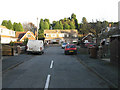
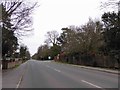
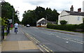
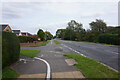
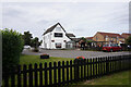
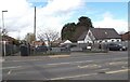
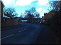
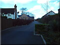
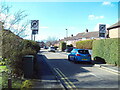
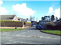

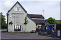
26 photos from this area
Area Information
Key information about the DN36 4WB including its size, population, and administrative classification.
- Area Type
- Postcode
- Area Size
- 6728 m²
- Population
- 1836
- Population Density
- 932 people/km²
House Prices in DN36 4WB
15
Properties
£191,458
Average Sold Price
£70,000
Lowest Price
£293,000
Highest Price
Showing 15 properties
| Address | Type | Beds | Baths | Last Sale Price | Last Sale Date | |
|---|---|---|---|---|---|---|
| 9 Aldwych Croft, New Waltham, DN36 4WB | Detached | 4 | 2 | £293,000 | Sep 2025 | |
| 7 Aldwych Croft, New Waltham, DN36 4WB | house | - | - | £293,000 | Sep 2021 | |
| 10 Aldwych Croft, New Waltham, DN36 4WB | house | - | - | £222,000 | Jan 2020 | |
| 5 Aldwych Croft, New Waltham, DN36 4WB | Detached | 4 | 2 | £225,000 | Oct 2018 | |
| 8 Aldwych Croft, New Waltham, DN36 4WB | Detached | 4 | - | £183,500 | Jul 2016 | |
| 1 Aldwych Croft, New Waltham, DN36 4WB | house | - | - | £210,000 | Jun 2016 | |
| 14 Aldwych Croft, New Waltham, DN36 4WB | Detached | 4 | 2 | £187,000 | Aug 2015 | |
| 4 Aldwych Croft, New Waltham, DN36 4WB | house | 4 | - | £185,000 | May 2012 | |
| 6 Aldwych Croft, New Waltham, DN36 4WB | Detached | 4 | 2 | £158,000 | Apr 2009 | |
| 15 Aldwych Croft, New Waltham, DN36 4WB | Detached | - | - | £177,000 | Jun 2008 |
Page 1 of 2
Energy Efficiency in DN36 4WB
Amenities
Schools
| Rank | School | Type | Entry gender | Ages |
|---|
Explore more schools in this area
Go to Schools tabDemographics
Household Size
Family (3-5 people)
most common
Accommodation Type
Houses
most common
Tenure
93
majority
Ethnic Group
White
most common
Religion
N/A
most common
Household Composition
N/A
most common
Age
47
median
Adults (30-64 years)
most common
Household Deprivation
N/A
with no deprivation
NS-SEC
36
in Lower managerial occupations
Explore more demographic insights in this area
Go to Demographics tabPlanning
Planning Constraints
- Flood RiskPremium
- Ramsar Wetland SitesPremium
- Area of Outstanding Natural BeautyPremium
- Protected Nature ReservePremium
- Protected WoodlandPremium