Area Overview for DN36 4JX
Photos of DN36 4JX
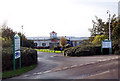
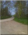
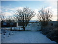
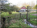
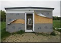
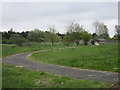
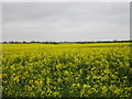
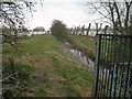

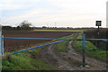
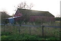
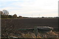
16 photos from this area
Area Information
Key information about the DN36 4JX including its size, population, and administrative classification.
- Area Type
- Postcode
- Area Size
- 1.6 km²
- Population
- 1750
- Population Density
- 329 people/km²
House Prices in DN36 4JX
13
Properties
-
Average Sold Price
-
Lowest Price
-
Highest Price
Showing 13 properties
| Address | Type | Beds | Baths | Last Sale Price | Last Sale Date | |
|---|---|---|---|---|---|---|
| 252 Anthonys Bank Road, Humberston, DN36 4JX | Mobile Home | - | - | - | - | |
| 260 Anthonys Bank Road, Humberston, DN36 4JX | Mobile Home | - | - | - | - | |
| 293 Anthonys Bank Road, Humberston, DN36 4JX | Mobile Home | - | - | - | - | |
| 266 Anthonys Bank Road, Humberston, DN36 4JX | Mobile Home | - | - | - | - | |
| 289 Anthonys Bank Road, Humberston, DN36 4JX | Mobile Home | - | - | - | - | |
| 281 Anthonys Bank Road, Humberston, DN36 4JX | Mobile Home | - | - | - | - | |
| 286 Anthonys Bank Road, Humberston, DN36 4JX | Mobile Home | - | - | - | - | |
| Shangri-la, Tertia Trust, South Sea Lane, Humberston, DN36 4JX | Unknown | - | - | - | - | |
| Blue And White Caravan, Tertia Trust, South Sea Lane, Humberston, DN36 4JX | Mobile Home | - | - | - | - | |
| Green Static Caravan At Tertia Trust, South Sea Lane, Humberston, DN36 4JX | Mobile Home | - | - | - | - |
Page 1 of 2
Energy Efficiency in DN36 4JX
Amenities
Schools
| Rank | School | Type | Entry gender | Ages |
|---|
Explore more schools in this area
Go to Schools tabDemographics
Household Size
Two person
most common
Accommodation Type
Houses
most common
Tenure
92
majority
Ethnic Group
White
most common
Religion
N/A
most common
Household Composition
N/A
most common
Age
47
median
Adults (30-64 years)
most common
Household Deprivation
N/A
with no deprivation
NS-SEC
29
in Lower managerial occupations
Explore more demographic insights in this area
Go to Demographics tabPlanning
Planning Constraints
- Flood RiskPremium
- Ramsar Wetland SitesPremium
- Area of Outstanding Natural BeautyPremium
- Protected Nature ReservePremium
- Protected WoodlandPremium