Area Overview for DN35 8HU
Photos of DN35 8HU
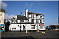
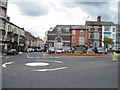
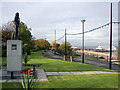

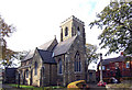
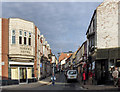
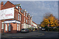

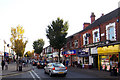
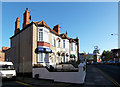
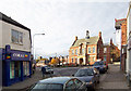
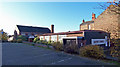
100 photos from this area
Area Information
Key information about the DN35 8HU including its size, population, and administrative classification.
- Area Type
- Postcode
- Area Size
- 2396 m²
- Population
- 1498
- Population Density
- 8322 people/km²
House Prices in DN35 8HU
18
Properties
£108,667
Average Sold Price
£43,000
Lowest Price
£200,000
Highest Price
Showing 18 properties
| Address | Type | Beds | Baths | Last Sale Price | Last Sale Date | |
|---|---|---|---|---|---|---|
| Over, 72 St Peters Avenue, Cleethorpes, DN35 8HU | Flat | - | - | £83,000 | Jul 2022 | |
| Rear Of, 88 St Peters Avenue, Cleethorpes, DN35 8HU | house | - | - | £200,000 | Apr 2019 | |
| 82 St Peters Avenue, Cleethorpes, DN35 8HU | Terraced | 3 | 2 | £43,000 | Feb 2003 | |
| Flat 1, 76 St Peters Avenue, Cleethorpes, DN35 8HU | Retail | - | - | - | - | |
| Flat Above, 96 St Peters Avenue, Cleethorpes, DN35 8HU | Flat | - | - | - | - | |
| Flat Above, 74 St Peters Avenue, Cleethorpes, DN35 8HU | Flat | - | - | - | - | |
| 80A, 78-80 St Peters Avenue, Cleethorpes, DN35 8HU | Terraced | 4 | 1 | - | - | |
| 78, Flat 2, 78-80 St Peters Avenue, Cleethorpes, DN35 8HU | Flat | - | - | - | - | |
| 78, Flat 1, 78-80 St Peters Avenue, Cleethorpes, DN35 8HU | Flat | - | - | - | - | |
| Back Of, 84 St Peters Avenue, Cleethorpes, DN35 8HU | Flat | - | - | - | - |
Page 1 of 2
Energy Efficiency in DN35 8HU
Amenities
Schools
| Rank | School | Type | Entry gender | Ages |
|---|
Explore more schools in this area
Go to Schools tabDemographics
Household Size
One person
most common
Accommodation Type
Houses
most common
Tenure
45
majority
Ethnic Group
White
most common
Religion
N/A
most common
Household Composition
N/A
most common
Age
47
median
Adults (30-64 years)
most common
Household Deprivation
N/A
with no deprivation
NS-SEC
20
in Lower managerial occupations
Explore more demographic insights in this area
Go to Demographics tabPlanning
Planning Constraints
- Flood RiskPremium
- Ramsar Wetland SitesPremium
- Area of Outstanding Natural BeautyPremium
- Protected Nature ReservePremium
- Protected WoodlandPremium