Area Overview for DN35 0JE
Photos of DN35 0JE
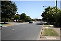
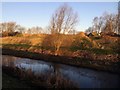
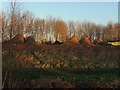
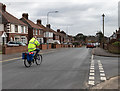
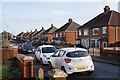
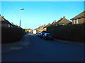
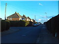
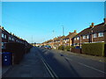
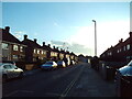
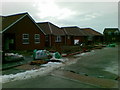
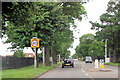
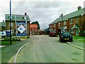
20 photos from this area
Area Information
Key information about the DN35 0JE including its size, population, and administrative classification.
- Area Type
- Postcode
- Area Size
- 1.1 hectares
- Population
- 1270
- Population Density
- 3629 people/km²
House Prices in DN35 0JE
17
Properties
£138,788
Average Sold Price
£60,000
Lowest Price
£306,000
Highest Price
Showing 17 properties
| Address | Type | Beds | Baths | Last Sale Price | Last Sale Date | |
|---|---|---|---|---|---|---|
| 14 Fillingham Crescent, Cleethorpes, DN35 0JE | house | - | - | £187,500 | Jun 2024 | |
| 38 Fillingham Crescent, Cleethorpes, DN35 0JE | house | - | - | £306,000 | Apr 2021 | |
| 36A Fillingham Crescent, Cleethorpes, DN35 0JE | Flat | 2 | 1 | £100,000 | Dec 2017 | |
| 26 Fillingham Crescent, Cleethorpes, DN35 0JE | Detached | 3 | 1 | £210,500 | Dec 2017 | |
| 20 Fillingham Crescent, Cleethorpes, DN35 0JE | Bungalow | - | - | £165,000 | Jun 2015 | |
| 30 Fillingham Crescent, Cleethorpes, DN35 0JE | Bungalow | - | - | £120,000 | Jun 2014 | |
| 32 Fillingham Crescent, Cleethorpes, DN35 0JE | house | - | - | £162,000 | Jan 2013 | |
| 36 Fillingham Crescent, Cleethorpes, DN35 0JE | Flat | - | - | £115,000 | Aug 2007 | |
| 18 Fillingham Crescent, Cleethorpes, DN35 0JE | Semi-detached | - | - | £60,000 | Nov 2001 | |
| 42 Fillingham Crescent, Cleethorpes, DN35 0JE | Semi-detached | - | - | £67,950 | Jan 2001 |
Page 1 of 2
Energy Efficiency in DN35 0JE
Amenities
Schools
| Rank | School | Type | Entry gender | Ages |
|---|
Explore more schools in this area
Go to Schools tabDemographics
Household Size
Two person
most common
Accommodation Type
Houses
most common
Tenure
91
majority
Ethnic Group
White
most common
Religion
N/A
most common
Household Composition
N/A
most common
Age
47
median
Adults (30-64 years)
most common
Household Deprivation
N/A
with no deprivation
NS-SEC
33
in Lower managerial occupations
Explore more demographic insights in this area
Go to Demographics tabPlanning
Planning Constraints
- Flood RiskPremium
- Ramsar Wetland SitesPremium
- Area of Outstanding Natural BeautyPremium
- Protected Nature ReservePremium
- Protected WoodlandPremium