Area Overview for DN33 3DX
Photos of DN33 3DX
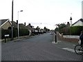
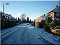
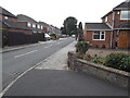
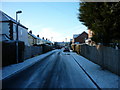
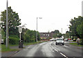
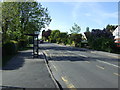
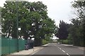
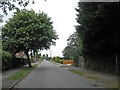
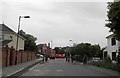
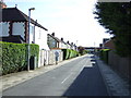
10 photos from this area
Area Information
Key information about the DN33 3DX including its size, population, and administrative classification.
- Area Type
- Postcode
- Area Size
- 2.9 hectares
- Population
- Not available
- Population Density
- Not available
House Prices in DN33 3DX
34
Properties
£184,212
Average Sold Price
£103,000
Lowest Price
£355,000
Highest Price
Showing 34 properties
| Address | Type | Beds | Baths | Last Sale Price | Last Sale Date | |
|---|---|---|---|---|---|---|
| 11 Allestree Drive, Grimsby, DN33 3DX | Semi-detached | 3 | 1 | £175,500 | Oct 2024 | |
| 15 Allestree Drive, Grimsby, DN33 3DX | Semi-detached | 4 | 1 | £190,000 | Aug 2024 | |
| 52 Allestree Drive, Grimsby, DN33 3DX | house | - | - | £248,000 | Jun 2023 | |
| 7 Allestree Drive, Grimsby, DN33 3DX | Retail | 3 | 1 | £265,000 | Nov 2022 | |
| 50 Allestree Drive, Grimsby, DN33 3DX | house | - | - | £190,000 | Nov 2021 | |
| 62 Allestree Drive, Grimsby, DN33 3DX | house | 3 | 1 | £232,000 | Jul 2021 | |
| 16 Allestree Drive, Grimsby, DN33 3DX | Semi-detached | 3 | 1 | £165,000 | Aug 2020 | |
| 5 Allestree Drive, Grimsby, DN33 3DX | Detached | 4 | 4 | £355,000 | Dec 2019 | |
| 64 Allestree Drive, Grimsby, DN33 3DX | Semi-detached | 3 | 1 | £175,000 | Sep 2019 | |
| 2 Allestree Drive, Grimsby, DN33 3DX | house | - | - | £134,000 | Dec 2017 |
Page 1 of 4
Energy Efficiency in DN33 3DX
Amenities
Schools
| Rank | School | Type | Entry gender | Ages |
|---|
Explore more schools in this area
Go to Schools tabDemographics
Household Size
Two person
most common
Accommodation Type
Houses
most common
Tenure
87
majority
Ethnic Group
White
most common
Religion
N/A
most common
Household Composition
N/A
most common
Age
47
median
Adults (30-64 years)
most common
Household Deprivation
N/A
with no deprivation
NS-SEC
29
in Lower managerial occupations
Explore more demographic insights in this area
Go to Demographics tabPlanning
Planning Constraints
- Flood RiskPremium
- Ramsar Wetland SitesPremium
- Area of Outstanding Natural BeautyPremium
- Protected Nature ReservePremium
- Protected WoodlandPremium