Area Overview for DN33 2LX
Photos of DN33 2LX
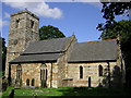
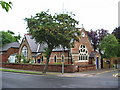
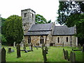
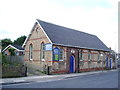
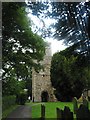
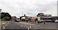
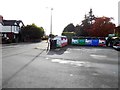
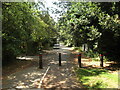
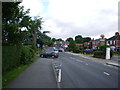
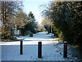
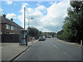
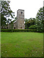
26 photos from this area
Area Information
Key information about the DN33 2LX including its size, population, and administrative classification.
- Area Type
- Postcode
- Area Size
- 2.0 hectares
- Population
- 1452
- Population Density
- 4152 people/km²
House Prices in DN33 2LX
19
Properties
£191,250
Average Sold Price
£50,000
Lowest Price
£319,000
Highest Price
Showing 19 properties
| Address | Type | Beds | Baths | Last Sale Price | Last Sale Date | |
|---|---|---|---|---|---|---|
| 44 Waltham Road, Grimsby, DN33 2LX | Detached | 4 | 2 | £319,000 | Nov 2021 | |
| 22 Waltham Road, Grimsby, DN33 2LX | house | - | - | £285,000 | Mar 2021 | |
| 24 Waltham Road, Grimsby, DN33 2LX | house | 2 | 1 | £118,000 | Apr 2017 | |
| 14 Waltham Road, Grimsby, DN33 2LX | house | - | - | £135,500 | Dec 2016 | |
| 8 Waltham Road, Grimsby, DN33 2LX | Detached | 4 | - | £240,000 | Nov 2007 | |
| 20 Waltham Road, Grimsby, DN33 2LX | Detached | 4 | 2 | £50,000 | Oct 1995 | |
| 4 Copper Beech Court, 42 Waltham Road, Grimsby, DN33 2LX | Flat | 2 | 2 | - | - | |
| 5 Copper Beech Court, 42 Waltham Road, Grimsby, DN33 2LX | Flat | 2 | 2 | - | - | |
| 10 Waltham Road, Grimsby, DN33 2LX | Semi-detached | 3 | 1 | - | - | |
| 18 Waltham Road, Grimsby, DN33 2LX | Semi-detached | - | - | - | - |
Page 1 of 2
Energy Efficiency in DN33 2LX
Amenities
Schools
| Rank | School | Type | Entry gender | Ages |
|---|
Explore more schools in this area
Go to Schools tabDemographics
Household Size
One person
most common
Accommodation Type
Houses
most common
Tenure
49
majority
Ethnic Group
White
most common
Religion
N/A
most common
Household Composition
N/A
most common
Age
47
median
Adults (30-64 years)
most common
Household Deprivation
N/A
with no deprivation
NS-SEC
22
in Lower managerial occupations
Explore more demographic insights in this area
Go to Demographics tabPlanning
Planning Constraints
- Flood RiskPremium
- Ramsar Wetland SitesPremium
- Area of Outstanding Natural BeautyPremium
- Protected Nature ReservePremium
- Protected WoodlandPremium