Area Overview for DN32 9EQ
Photos of DN32 9EQ
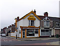
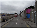
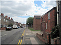
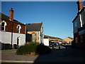
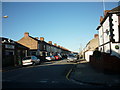
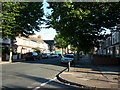
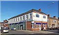
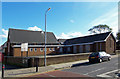
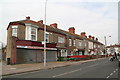
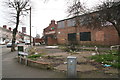
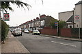
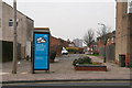
58 photos from this area
Area Information
Key information about the DN32 9EQ including its size, population, and administrative classification.
- Area Type
- Postcode
- Area Size
- 9378 m²
- Population
- Not available
- Population Density
- Not available
House Prices in DN32 9EQ
41
Properties
£58,922
Average Sold Price
£13,250
Lowest Price
£115,000
Highest Price
Showing 41 properties
| Address | Type | Beds | Baths | Last Sale Price | Last Sale Date | |
|---|---|---|---|---|---|---|
| 102 Ladysmith Road, Grimsby, DN32 9EQ | Terraced | 3 | 1 | £75,000 | Oct 2024 | |
| 93 Ladysmith Road, Grimsby, DN32 9EQ | house | - | - | £74,000 | Jun 2024 | |
| 81 Ladysmith Road, Grimsby, DN32 9EQ | Terraced | 3 | 1 | £60,000 | Mar 2024 | |
| 89 Ladysmith Road, Grimsby, DN32 9EQ | Terraced | 3 | 1 | £70,000 | Jun 2023 | |
| 77 Ladysmith Road, Grimsby, DN32 9EQ | Terraced | 3 | - | £115,000 | Feb 2023 | |
| 114 Ladysmith Road, Grimsby, DN32 9EQ | house | - | - | £64,000 | May 2021 | |
| 110 Ladysmith Road, Grimsby, DN32 9EQ | Terraced | 3 | 2 | £65,000 | Jun 2020 | |
| 95 Ladysmith Road, Grimsby, DN32 9EQ | Terraced | 3 | 1 | £55,000 | Nov 2019 | |
| 116 Ladysmith Road, Grimsby, DN32 9EQ | house | 3 | - | £45,000 | May 2019 | |
| 103 Ladysmith Road, Grimsby, DN32 9EQ | Terraced | 3 | 1 | £58,000 | Feb 2019 |
Page 1 of 5
Energy Efficiency in DN32 9EQ
Amenities
Schools
| Rank | School | Type | Entry gender | Ages |
|---|
Explore more schools in this area
Go to Schools tabDemographics
Household Size
Family (3-5 people)
most common
Accommodation Type
Houses
most common
Tenure
36
majority
Ethnic Group
White
most common
Religion
N/A
most common
Household Composition
N/A
most common
Age
22
median
Adults (30-64 years)
most common
Household Deprivation
N/A
with no deprivation
NS-SEC
12
in Lower managerial occupations
Explore more demographic insights in this area
Go to Demographics tabPlanning
Planning Constraints
- Flood RiskPremium
- Ramsar Wetland SitesPremium
- Area of Outstanding Natural BeautyPremium
- Protected Nature ReservePremium
- Protected WoodlandPremium