Area Overview for DN31 2NG
Photos of DN31 2NG
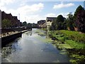
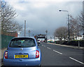
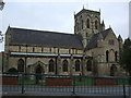
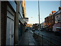
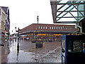

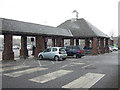
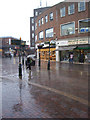
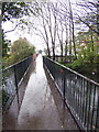
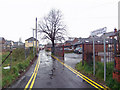
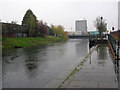
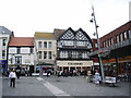
100 photos from this area
Area Information
Key information about the DN31 2NG including its size, population, and administrative classification.
- Area Type
- Postcode
- Area Size
- 4671 m²
- Population
- 1532
- Population Density
- 6673 people/km²
House Prices in DN31 2NG
32
Properties
£57,010
Average Sold Price
£18,650
Lowest Price
£84,000
Highest Price
Showing 32 properties
| Address | Type | Beds | Baths | Last Sale Price | Last Sale Date | |
|---|---|---|---|---|---|---|
| 132 Lord Street, Grimsby, DN31 2NG | Terraced | 3 | 1 | £61,000 | Sep 2024 | |
| 76 Lord Street, Grimsby, DN31 2NG | Terraced | 3 | 1 | £84,000 | Jan 2024 | |
| 86 Lord Street, Grimsby, DN31 2NG | Flat | 1 | 1 | £81,000 | Sep 2022 | |
| 124 Lord Street, Grimsby, DN31 2NG | house | - | - | £67,000 | Feb 2022 | |
| 102 Lord Street, Grimsby, DN31 2NG | Terraced | 2 | 1 | £69,000 | Sep 2021 | |
| 94 Lord Street, Grimsby, DN31 2NG | house | - | - | £58,000 | Sep 2021 | |
| 80 Lord Street, Grimsby, DN31 2NG | Terraced | 3 | 1 | £55,000 | May 2017 | |
| 92 Lord Street, Grimsby, DN31 2NG | house | 3 | 1 | £51,000 | Mar 2016 | |
| 106 Lord Street, Grimsby, DN31 2NG | Terraced | 2 | 1 | £39,995 | May 2015 | |
| 128 Lord Street, Grimsby, DN31 2NG | house | 3 | - | £38,000 | Sep 2014 |
Page 1 of 4
Energy Efficiency in DN31 2NG
Amenities
Schools
| Rank | School | Type | Entry gender | Ages |
|---|
Explore more schools in this area
Go to Schools tabDemographics
Household Size
One person
most common
Accommodation Type
Houses
most common
Tenure
43
majority
Ethnic Group
White
most common
Religion
N/A
most common
Household Composition
N/A
most common
Age
47
median
Adults (30-64 years)
most common
Household Deprivation
N/A
with no deprivation
NS-SEC
11
in Lower managerial occupations
Explore more demographic insights in this area
Go to Demographics tabPlanning
Planning Constraints
- Flood RiskPremium
- Ramsar Wetland SitesPremium
- Area of Outstanding Natural BeautyPremium
- Protected Nature ReservePremium
- Protected WoodlandPremium