Area Overview for DN31 2DW
Photos of DN31 2DW
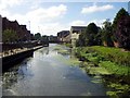
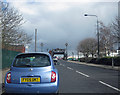
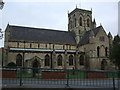
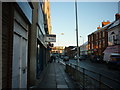
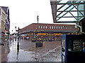

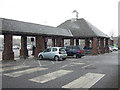
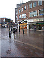
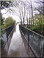
100 photos from this area
Area Information
Key information about the DN31 2DW including its size, population, and administrative classification.
- Area Type
- Postcode
- Area Size
- 9580 m²
- Population
- 1317
- Population Density
- 3596 people/km²
House Prices in DN31 2DW
64
Properties
£70,263
Average Sold Price
£19,000
Lowest Price
£120,000
Highest Price
Showing 64 properties
| Address | Type | Beds | Baths | Last Sale Price | Last Sale Date | |
|---|---|---|---|---|---|---|
| 56 Cromwell Road, Grimsby, DN31 2DW | Detached | 3 | 1 | £60,000 | Dec 2025 | |
| 34 Cromwell Road, Grimsby, DN31 2DW | Terraced | 2 | 1 | £78,476 | Nov 2024 | |
| 28 Cromwell Road, Grimsby, DN31 2DW | Terraced | 2 | 1 | £81,500 | Sep 2024 | |
| 54 Cromwell Road, Grimsby, DN31 2DW | Terraced | 3 | 1 | £120,000 | Jul 2024 | |
| 44 Cromwell Road, Grimsby, DN31 2DW | Terraced | 3 | 1 | £85,000 | Jul 2024 | |
| 52 Cromwell Road, Grimsby, DN31 2DW | Terraced | 4 | 1 | £112,000 | Oct 2022 | |
| 90 Cromwell Road, Grimsby, DN31 2DW | Terraced | 3 | 2 | £80,000 | Jun 2022 | |
| 32 Cromwell Road, Grimsby, DN31 2DW | house | - | - | £73,000 | Oct 2021 | |
| 40 Cromwell Road, Grimsby, DN31 2DW | house | - | - | £95,000 | Jul 2019 | |
| 76B Cromwell Road, Grimsby, DN31 2DW | Flat | - | - | £45,000 | Feb 2019 |
Page 1 of 7
Energy Efficiency in DN31 2DW
Amenities
Schools
| Rank | School | Type | Entry gender | Ages |
|---|
Explore more schools in this area
Go to Schools tabDemographics
Household Size
One person
most common
Accommodation Type
Flats
most common
Tenure
34
majority
Ethnic Group
White
most common
Religion
N/A
most common
Household Composition
N/A
most common
Age
47
median
Adults (30-64 years)
most common
Household Deprivation
N/A
with no deprivation
NS-SEC
18
in Lower managerial occupations
Explore more demographic insights in this area
Go to Demographics tabPlanning
Planning Constraints
- Flood RiskPremium
- Ramsar Wetland SitesPremium
- Area of Outstanding Natural BeautyPremium
- Protected Nature ReservePremium
- Protected WoodlandPremium