Area Overview for DN31 1RT
Photos of DN31 1RT
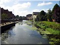
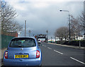
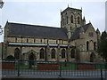
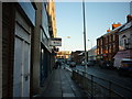
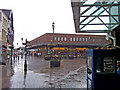

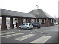
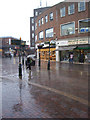
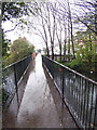
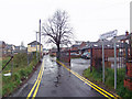
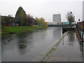
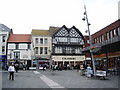
100 photos from this area
Area Information
Key information about the DN31 1RT including its size, population, and administrative classification.
- Area Type
- Postcode
- Area Size
- 6084 m²
- Population
- 1532
- Population Density
- 6673 people/km²
House Prices in DN31 1RT
25
Properties
£63,293
Average Sold Price
£21,000
Lowest Price
£88,000
Highest Price
Showing 25 properties
| Address | Type | Beds | Baths | Last Sale Price | Last Sale Date | |
|---|---|---|---|---|---|---|
| 52 Cartergate, Grimsby, DN31 1RT | Terraced | 3 | 1 | £85,000 | Oct 2023 | |
| 82 Cartergate, Grimsby, DN31 1RT | Terraced | 3 | 1 | £85,000 | Mar 2023 | |
| 80 Cartergate, Grimsby, DN31 1RT | Retail | 3 | 2 | £85,000 | Dec 2022 | |
| 50 Cartergate, Grimsby, DN31 1RT | Terraced | 3 | 1 | £85,000 | Jul 2022 | |
| 72 Cartergate, Grimsby, DN31 1RT | Terraced | 3 | 1 | £88,000 | Apr 2022 | |
| 76 Cartergate, Grimsby, DN31 1RT | house | - | - | £79,000 | Jul 2021 | |
| 40A Cartergate, Grimsby, DN31 1RT | Maisonette | - | - | £65,000 | Apr 2021 | |
| 44 Cartergate, Grimsby, DN31 1RT | Terraced | 3 | 1 | £52,495 | Dec 2017 | |
| 48 Cartergate, Grimsby, DN31 1RT | house | - | - | £35,000 | Jan 2012 | |
| 58 Cartergate, Grimsby, DN31 1RT | Terraced | 3 | 1 | £56,250 | Aug 2008 |
Page 1 of 3
Energy Efficiency in DN31 1RT
Amenities
Schools
| Rank | School | Type | Entry gender | Ages |
|---|
Explore more schools in this area
Go to Schools tabDemographics
Household Size
One person
most common
Accommodation Type
Houses
most common
Tenure
43
majority
Ethnic Group
White
most common
Religion
N/A
most common
Household Composition
N/A
most common
Age
47
median
Adults (30-64 years)
most common
Household Deprivation
N/A
with no deprivation
NS-SEC
11
in Lower managerial occupations
Explore more demographic insights in this area
Go to Demographics tabPlanning
Planning Constraints
- Flood RiskPremium
- Ramsar Wetland SitesPremium
- Area of Outstanding Natural BeautyPremium
- Protected Nature ReservePremium
- Protected WoodlandPremium