Area Overview for DN3 2JX
Photos of DN3 2JX
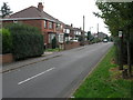
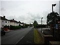
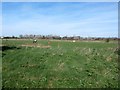
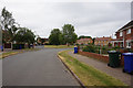
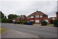
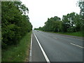
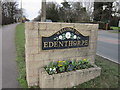
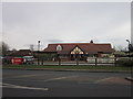
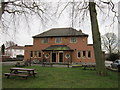
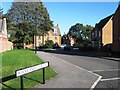
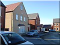
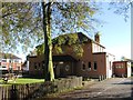
18 photos from this area
Area Information
Key information about the DN3 2JX including its size, population, and administrative classification.
- Area Type
- Postcode
- Area Size
- 4.3 hectares
- Population
- 1429
- Population Density
- 750 people/km²
House Prices in DN3 2JX
38
Properties
£208,323
Average Sold Price
£66,500
Lowest Price
£360,000
Highest Price
Showing 38 properties
| Address | Type | Beds | Baths | Last Sale Price | Last Sale Date | |
|---|---|---|---|---|---|---|
| 90 Lyndale Avenue, Edenthorpe, Doncaster, DN3 2JX | Detached | 4 | 1 | £225,000 | Aug 2024 | |
| 96 Lyndale Avenue, Edenthorpe, Doncaster, DN3 2JX | Detached | 5 | 2 | £360,000 | Aug 2022 | |
| 82 Lyndale Avenue, Edenthorpe, Doncaster, DN3 2JX | Detached | 4 | 1 | £272,500 | Nov 2021 | |
| 80 Lyndale Avenue, Edenthorpe, Doncaster, DN3 2JX | Detached | 4 | 1 | £335,000 | Jun 2021 | |
| 118 Lyndale Avenue, Edenthorpe, Doncaster, DN3 2JX | house | - | - | £201,500 | Feb 2021 | |
| 106 Lyndale Avenue, Edenthorpe, Doncaster, DN3 2JX | house | - | - | £215,000 | Sep 2014 | |
| 124 Lyndale Avenue, Edenthorpe, Doncaster, DN3 2JX | house | - | - | £162,500 | Oct 2013 | |
| 102 Lyndale Avenue, Edenthorpe, Doncaster, DN3 2JX | house | - | - | £217,500 | Aug 2013 | |
| 122 Lyndale Avenue, Edenthorpe, Doncaster, DN3 2JX | Detached | 3 | 1 | £178,000 | Dec 2012 | |
| 104 Lyndale Avenue, Edenthorpe, Doncaster, DN3 2JX | house | - | - | £224,950 | May 2012 |
Page 1 of 4
Energy Efficiency in DN3 2JX
Amenities
Schools
| Rank | School | Type | Entry gender | Ages |
|---|
Explore more schools in this area
Go to Schools tabDemographics
Household Size
Two person
most common
Accommodation Type
Houses
most common
Tenure
83
majority
Ethnic Group
White
most common
Religion
N/A
most common
Household Composition
N/A
most common
Age
47
median
Adults (30-64 years)
most common
Household Deprivation
N/A
with no deprivation
NS-SEC
40
in Lower managerial occupations
Explore more demographic insights in this area
Go to Demographics tabPlanning
Planning Constraints
- Flood RiskPremium
- Ramsar Wetland SitesPremium
- Area of Outstanding Natural BeautyPremium
- Protected Nature ReservePremium
- Protected WoodlandPremium