Area Overview for DN20 8DT
Photos of DN20 8DT
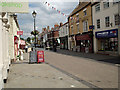
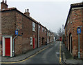
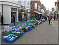
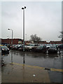
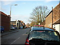
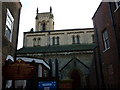
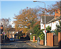
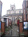
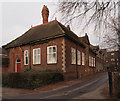

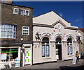
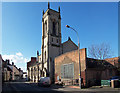
100 photos from this area
Area Information
Key information about the DN20 8DT including its size, population, and administrative classification.
- Area Type
- Postcode
- Area Size
- 8.8 hectares
- Population
- 1688
- Population Density
- 1722 people/km²
House Prices in DN20 8DT
31
Properties
£211,952
Average Sold Price
£57,500
Lowest Price
£510,000
Highest Price
Showing 31 properties
| Address | Type | Beds | Baths | Last Sale Price | Last Sale Date | |
|---|---|---|---|---|---|---|
| Drumfield House, 33 Wrawby Road, Brigg, DN20 8DT | house | 5 | 3 | £510,000 | May 2025 | |
| 46 Wrawby Road, Brigg, DN20 8DT | house | - | - | £290,000 | Apr 2024 | |
| 31 Wrawby Road, Brigg, DN20 8DT | Detached | 4 | 3 | £450,000 | Aug 2023 | |
| 54 Wrawby Road, Brigg, DN20 8DT | house | - | - | £357,000 | Feb 2021 | |
| 64 Wrawby Road, Brigg, DN20 8DT | house | 4 | - | £212,500 | Oct 2020 | |
| 62 Wrawby Road, Brigg, DN20 8DT | Detached | 3 | 2 | £215,000 | Jul 2020 | |
| 66 Wrawby Road, Brigg, DN20 8DT | house | - | - | £200,000 | Nov 2018 | |
| Kingsley House, 58 Wrawby Road, Brigg, DN20 8DT | Detached | 4 | 1 | £260,000 | Oct 2018 | |
| 40 Wrawby Road, Brigg, DN20 8DT | Semi-detached | 3 | 1 | £165,000 | Oct 2018 | |
| 60 Wrawby Road, Brigg, DN20 8DT | Detached | 4 | 1 | £180,000 | Feb 2018 |
Page 1 of 4
Energy Efficiency in DN20 8DT
Amenities
Schools
| Rank | School | Type | Entry gender | Ages |
|---|
Explore more schools in this area
Go to Schools tabDemographics
Household Size
Two person
most common
Accommodation Type
Houses
most common
Tenure
85
majority
Ethnic Group
White
most common
Religion
N/A
most common
Household Composition
N/A
most common
Age
47
median
Adults (30-64 years)
most common
Household Deprivation
N/A
with no deprivation
NS-SEC
34
in Lower managerial occupations
Explore more demographic insights in this area
Go to Demographics tabPlanning
Planning Constraints
- Flood RiskPremium
- Ramsar Wetland SitesPremium
- Area of Outstanding Natural BeautyPremium
- Protected Nature ReservePremium
- Protected WoodlandPremium