Area Overview for DN20 0AZ
Photos of DN20 0AZ
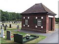
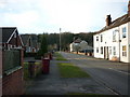
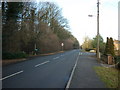
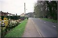
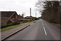
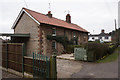
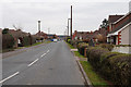
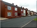
31 photos from this area
Area Information
Key information about the DN20 0AZ including its size, population, and administrative classification.
- Area Type
- Postcode
- Area Size
- 9282 m²
- Population
- 1474
- Population Density
- 446 people/km²
House Prices in DN20 0AZ
23
Properties
£116,112
Average Sold Price
£34,000
Lowest Price
£240,000
Highest Price
Showing 23 properties
| Address | Type | Beds | Baths | Last Sale Price | Last Sale Date | |
|---|---|---|---|---|---|---|
| 8 Westminster Road, Broughton, DN20 0AZ | Semi-detached | 3 | 1 | £145,000 | Oct 2024 | |
| 25 Westminster Road, Broughton, DN20 0AZ | Semi-detached | 3 | 2 | £143,000 | Jul 2020 | |
| 4 Westminster Road, Broughton, DN20 0AZ | Bungalow | 2 | 1 | £119,000 | Jun 2020 | |
| 16 Westminster Road, Broughton, DN20 0AZ | house | 3 | 1 | £126,000 | Jul 2018 | |
| 28 Westminster Road, Broughton, DN20 0AZ | Semi-detached | - | - | £115,000 | Oct 2017 | |
| 22 Westminster Road, Broughton, DN20 0AZ | Bungalow | 3 | 1 | £125,000 | Oct 2017 | |
| 2 Westminster Road, Broughton, DN20 0AZ | Bungalow | - | - | £125,000 | May 2017 | |
| 11 Westminster Road, Broughton, DN20 0AZ | Bungalow | - | - | £240,000 | Sep 2016 | |
| 12 Westminster Road, Broughton, DN20 0AZ | Bungalow | 3 | - | £110,000 | Apr 2011 | |
| 7 Westminster Road, Broughton, DN20 0AZ | house | 4 | - | £186,000 | Nov 2010 |
Page 1 of 3
Energy Efficiency in DN20 0AZ
Amenities
Schools
| Rank | School | Type | Entry gender | Ages |
|---|
Explore more schools in this area
Go to Schools tabDemographics
Household Size
Two person
most common
Accommodation Type
Houses
most common
Tenure
86
majority
Ethnic Group
White
most common
Religion
N/A
most common
Household Composition
N/A
most common
Age
47
median
Adults (30-64 years)
most common
Household Deprivation
N/A
with no deprivation
NS-SEC
31
in Lower managerial occupations
Explore more demographic insights in this area
Go to Demographics tabPlanning
Planning Constraints
- Flood RiskPremium
- Ramsar Wetland SitesPremium
- Area of Outstanding Natural BeautyPremium
- Protected Nature ReservePremium
- Protected WoodlandPremium