Area Overview for DN2 4EP
Photos of DN2 4EP
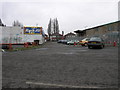
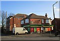
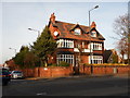
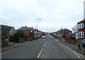
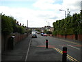
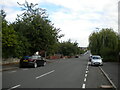
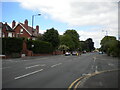


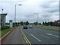
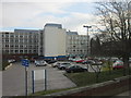
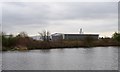
16 photos from this area
Area Information
Key information about the DN2 4EP including its size, population, and administrative classification.
- Area Type
- Postcode
- Area Size
- 7897 m²
- Population
- 1574
- Population Density
- 3997 people/km²
House Prices in DN2 4EP
28
Properties
£104,722
Average Sold Price
£33,000
Lowest Price
£171,000
Highest Price
Showing 28 properties
| Address | Type | Beds | Baths | Last Sale Price | Last Sale Date | |
|---|---|---|---|---|---|---|
| 168 Harrowden Road, Wheatley, Doncaster, DN2 4EP | Semi-detached | 3 | 1 | £112,000 | Jun 2025 | |
| 146 Harrowden Road, Wheatley, Doncaster, DN2 4EP | house | 3 | - | £171,000 | Feb 2023 | |
| 154 Harrowden Road, Wheatley, Doncaster, DN2 4EP | Semi-detached | 3 | 1 | £138,000 | Nov 2022 | |
| 138 Harrowden Road, Wheatley, Doncaster, DN2 4EP | Semi-detached | 3 | - | £120,000 | Aug 2019 | |
| 101 Harrowden Road, Wheatley, Doncaster, DN2 4EP | Semi-detached | 3 | 1 | £106,000 | Jun 2019 | |
| 103 Harrowden Road, Wheatley, Doncaster, DN2 4EP | house | - | - | £90,000 | Nov 2016 | |
| 99 Harrowden Road, Wheatley, Doncaster, DN2 4EP | Semi-detached | 3 | 1 | £94,000 | Oct 2016 | |
| 156 Harrowden Road, Wheatley, Doncaster, DN2 4EP | house | - | - | £95,000 | Mar 2016 | |
| 140 Harrowden Road, Wheatley, Doncaster, DN2 4EP | Semi-detached | 3 | - | £105,000 | Jun 2014 | |
| 158 Harrowden Road, Wheatley, Doncaster, DN2 4EP | Semi-detached | 3 | - | £95,000 | Dec 2013 |
Page 1 of 3
Energy Efficiency in DN2 4EP
Amenities
Schools
| Rank | School | Type | Entry gender | Ages |
|---|
Explore more schools in this area
Go to Schools tabDemographics
Household Size
Family (3-5 people)
most common
Accommodation Type
Houses
most common
Tenure
68
majority
Ethnic Group
White
most common
Religion
N/A
most common
Household Composition
N/A
most common
Age
47
median
Adults (30-64 years)
most common
Household Deprivation
N/A
with no deprivation
NS-SEC
21
in Lower managerial occupations
Explore more demographic insights in this area
Go to Demographics tabPlanning
Planning Constraints
- Flood RiskPremium
- Ramsar Wetland SitesPremium
- Area of Outstanding Natural BeautyPremium
- Protected Nature ReservePremium
- Protected WoodlandPremium