Area Overview for DN17 4JD
Photos of DN17 4JD
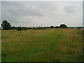

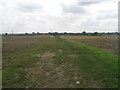
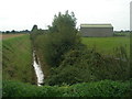
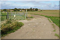


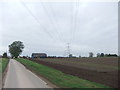
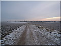


17 photos from this area
Area Information
Key information about the DN17 4JD including its size, population, and administrative classification.
- Area Type
- Postcode
- Area Size
- 1.3 km²
- Population
- 1692
- Population Density
- 40 people/km²
House Prices in DN17 4JD
70
Properties
£177,059
Average Sold Price
£24,000
Lowest Price
£482,500
Highest Price
Showing 70 properties
| Address | Type | Beds | Baths | Last Sale Price | Last Sale Date | |
|---|---|---|---|---|---|---|
| 81 Outgate, Ealand, DN17 4JD | Detached | 2 | 1 | £160,000 | Nov 2025 | |
| 86 Outgate, Ealand, DN17 4JD | Terraced | 2 | 1 | £129,950 | Mar 2025 | |
| 53 Outgate, Ealand, DN17 4JD | Bungalow | 4 | 2 | £415,000 | Mar 2025 | |
| 36 Outgate, Ealand, DN17 4JD | Detached | 3 | 1 | £210,000 | Mar 2025 | |
| Well Cottage, 64 Outgate, Ealand, DN17 4JD | Bungalow | - | - | £130,000 | Dec 2024 | |
| Field House Farm, 68 Outgate, Ealand, DN17 4JD | Detached | 3 | - | £482,500 | Feb 2023 | |
| 94 Outgate, Ealand, DN17 4JD | house | - | - | £170,000 | Dec 2022 | |
| 84 Outgate, Ealand, DN17 4JD | Retail | 2 | 1 | £127,000 | Apr 2022 | |
| 55 Outgate, Ealand, DN17 4JD | house | - | - | £265,000 | Mar 2021 | |
| 52 Outgate, Ealand, DN17 4JD | Detached | 5 | 3 | £360,000 | Dec 2020 |
Page 1 of 7
Energy Efficiency in DN17 4JD
Amenities
Schools
| Rank | School | Type | Entry gender | Ages |
|---|
Explore more schools in this area
Go to Schools tabDemographics
Household Size
Two person
most common
Accommodation Type
Houses
most common
Tenure
81
majority
Ethnic Group
White
most common
Religion
N/A
most common
Household Composition
N/A
most common
Age
47
median
Adults (30-64 years)
most common
Household Deprivation
N/A
with no deprivation
NS-SEC
33
in Lower managerial occupations
Explore more demographic insights in this area
Go to Demographics tabPlanning
Planning Constraints
- Flood RiskPremium
- Ramsar Wetland SitesPremium
- Area of Outstanding Natural BeautyPremium
- Protected Nature ReservePremium
- Protected WoodlandPremium