Area Overview for DN17 4BL
Photos of DN17 4BL
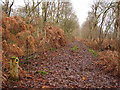
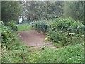
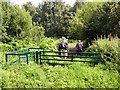

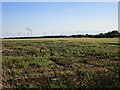
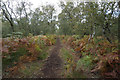
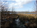
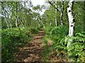
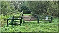
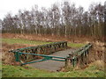
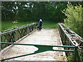
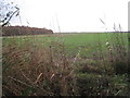
20 photos from this area
Area Information
Key information about the DN17 4BL including its size, population, and administrative classification.
- Area Type
- Postcode
- Area Size
- 7.1 km²
- Population
- 1692
- Population Density
- 40 people/km²
House Prices in DN17 4BL
12
Properties
£330,000
Average Sold Price
£245,000
Lowest Price
£440,000
Highest Price
Showing 12 properties
| Address | Type | Beds | Baths | Last Sale Price | Last Sale Date | |
|---|---|---|---|---|---|---|
| Sheringham House, Access Track Alongside Moor Middle Drain, Crowle, DN17 4BL | Detached | 4 | 1 | £245,000 | Oct 2021 | |
| Rose Cottage, Access Track Alongside Moor Middle Drain, Crowle, DN17 4BL | Bungalow | - | - | £305,000 | May 2019 | |
| Longacres, Access Track Alongside Moor Middle Drain, Crowle, DN17 4BL | Equestrian | 4 | - | £440,000 | Jun 2016 | |
| Caravan At Silvertree Holdings, Access Track Alongside Moor Middle Drain, Crowle, DN17 4BL | Semi-detached | - | - | - | - | |
| Caravan, Hunsley House, Access Track Alongside Moor Middle Drain, Crowle, DN17 4BL | Semi-detached | - | - | - | - | |
| Caravan, Middle Moor Farm, Dole Road, Crowle, DN17 4BL | Semi-detached | - | - | - | - | |
| Storage Building Thorne Moors Nature Reserve, New Road, Swinefleet, DN17 4BL | warehouse | - | - | - | - | |
| Middle Moor Farm, Dole Road, Crowle, DN17 4BL | Farm | - | - | - | - | |
| Silvertrees, Access Track Alongside Moor Middle Drain, Crowle, DN17 4BL | house | - | - | - | - | |
| Hunsley House, Access Track Alongside Moor Middle Drain, Crowle, DN17 4BL | Detached | - | - | - | - |
Page 1 of 2
Energy Efficiency in DN17 4BL
Amenities
Schools
| Rank | School | Type | Entry gender | Ages |
|---|
Explore more schools in this area
Go to Schools tabDemographics
Household Size
Two person
most common
Accommodation Type
Houses
most common
Tenure
81
majority
Ethnic Group
White
most common
Religion
N/A
most common
Household Composition
N/A
most common
Age
47
median
Adults (30-64 years)
most common
Household Deprivation
N/A
with no deprivation
NS-SEC
33
in Lower managerial occupations
Explore more demographic insights in this area
Go to Demographics tabPlanning
Planning Constraints
- Flood RiskPremium
- Ramsar Wetland SitesPremium
- Area of Outstanding Natural BeautyPremium
- Protected Nature ReservePremium
- Protected WoodlandPremium