Area Overview for DN16 3QF
Photos of DN16 3QF
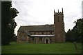
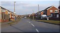
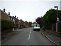
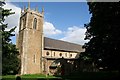
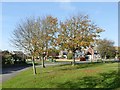
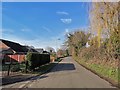
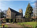
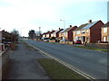
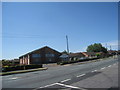
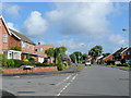
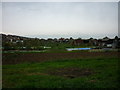
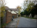
29 photos from this area
Area Information
Key information about the DN16 3QF including its size, population, and administrative classification.
- Area Type
- Postcode
- Area Size
- 7260 m²
- Population
- 1284
- Population Density
- 3160 people/km²
House Prices in DN16 3QF
18
Properties
£120,109
Average Sold Price
£39,250
Lowest Price
£190,000
Highest Price
Showing 18 properties
| Address | Type | Beds | Baths | Last Sale Price | Last Sale Date | |
|---|---|---|---|---|---|---|
| 10 Beeches Avenue, Bottesford, DN16 3QF | Detached | 4 | 1 | £190,000 | Dec 2023 | |
| 5 Beeches Avenue, Bottesford, DN16 3QF | Retail | 3 | 1 | £175,000 | Apr 2022 | |
| 16 Beeches Avenue, Bottesford, DN16 3QF | house | - | - | £182,500 | Jan 2020 | |
| 19 Beeches Avenue, Bottesford, DN16 3QF | house | - | - | £138,000 | Feb 2016 | |
| 15 Beeches Avenue, Bottesford, DN16 3QF | house | - | - | £131,000 | Jan 2016 | |
| 9 Beeches Avenue, Bottesford, DN16 3QF | Semi-detached | 3 | 1 | £117,000 | Jun 2015 | |
| 1 Beeches Avenue, Bottesford, DN16 3QF | Semi-detached | 3 | - | £118,500 | Oct 2014 | |
| 12 Beeches Avenue, Bottesford, DN16 3QF | Semi-detached | 3 | - | £125,000 | Jun 2012 | |
| 11 Beeches Avenue, Bottesford, DN16 3QF | Semi-detached | - | - | £49,950 | Jul 1999 | |
| 4 Beeches Avenue, Bottesford, DN16 3QF | Semi-detached | - | - | £55,000 | Oct 1997 |
Page 1 of 2
Energy Efficiency in DN16 3QF
Amenities
Schools
| Rank | School | Type | Entry gender | Ages |
|---|
Explore more schools in this area
Go to Schools tabDemographics
Household Size
Two person
most common
Accommodation Type
Houses
most common
Tenure
88
majority
Ethnic Group
White
most common
Religion
N/A
most common
Household Composition
N/A
most common
Age
47
median
Elderly (65+ years)
most common
Household Deprivation
N/A
with no deprivation
NS-SEC
30
in Lower managerial occupations
Explore more demographic insights in this area
Go to Demographics tabPlanning
Planning Constraints
- Flood RiskPremium
- Ramsar Wetland SitesPremium
- Area of Outstanding Natural BeautyPremium
- Protected Nature ReservePremium
- Protected WoodlandPremium