Area Overview for DN16 3NN
Photos of DN16 3NN
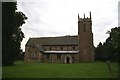
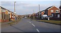
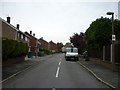
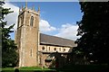
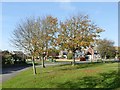
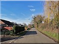
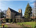
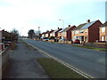
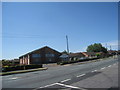
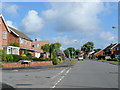
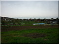
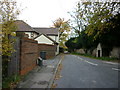
29 photos from this area
Area Information
Key information about the DN16 3NN including its size, population, and administrative classification.
- Area Type
- Postcode
- Area Size
- 9028 m²
- Population
- 1382
- Population Density
- 3255 people/km²
House Prices in DN16 3NN
25
Properties
£105,809
Average Sold Price
£39,000
Lowest Price
£167,500
Highest Price
Showing 25 properties
| Address | Type | Beds | Baths | Last Sale Price | Last Sale Date | |
|---|---|---|---|---|---|---|
| 18 Middleton Road, Bottesford, DN16 3NN | Bungalow | 3 | 1 | £155,000 | Oct 2024 | |
| 26 Middleton Road, Bottesford, DN16 3NN | Bungalow | 3 | 1 | £160,000 | Jan 2023 | |
| 4 Middleton Road, Bottesford, DN16 3NN | Semi-detached | 3 | 1 | £105,000 | Jul 2021 | |
| 38 Middleton Road, Bottesford, DN16 3NN | Bungalow | 3 | 1 | £167,500 | Apr 2021 | |
| 24 Middleton Road, Bottesford, DN16 3NN | Bungalow | 3 | 1 | £127,000 | Mar 2018 | |
| 44 Middleton Road, Bottesford, DN16 3NN | Bungalow | 4 | 1 | £150,000 | Jan 2018 | |
| 20 Middleton Road, Bottesford, DN16 3NN | Bungalow | 3 | 1 | £135,000 | Dec 2017 | |
| 10 Middleton Road, Bottesford, DN16 3NN | Semi-detached | 3 | 1 | £83,750 | Apr 2015 | |
| 40 Middleton Road, Bottesford, DN16 3NN | Bungalow | 3 | - | £110,000 | Mar 2015 | |
| 22 Middleton Road, Bottesford, DN16 3NN | Bungalow | 3 | - | £120,000 | Mar 2015 |
Page 1 of 3
Energy Efficiency in DN16 3NN
Amenities
Schools
| Rank | School | Type | Entry gender | Ages |
|---|
Explore more schools in this area
Go to Schools tabDemographics
Household Size
Two person
most common
Accommodation Type
Houses
most common
Tenure
84
majority
Ethnic Group
White
most common
Religion
N/A
most common
Household Composition
N/A
most common
Age
47
median
Adults (30-64 years)
most common
Household Deprivation
N/A
with no deprivation
NS-SEC
25
in Lower managerial occupations
Explore more demographic insights in this area
Go to Demographics tabPlanning
Planning Constraints
- Flood RiskPremium
- Ramsar Wetland SitesPremium
- Area of Outstanding Natural BeautyPremium
- Protected Nature ReservePremium
- Protected WoodlandPremium