Area Overview for DN15 9TE
Photos of DN15 9TE
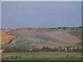
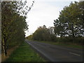
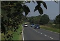
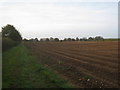
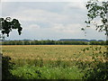
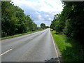
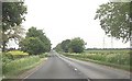
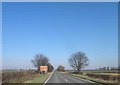
10 photos from this area
Area Information
Key information about the DN15 9TE including its size, population, and administrative classification.
- Area Type
- Postcode
- Area Size
- 30.1 hectares
- Population
- 1569
- Population Density
- 466 people/km²
House Prices in DN15 9TE
21
Properties
£96,158
Average Sold Price
£15,000
Lowest Price
£335,000
Highest Price
Showing 21 properties
| Address | Type | Beds | Baths | Last Sale Price | Last Sale Date | |
|---|---|---|---|---|---|---|
| 20 Top Road, Winterton, DN15 9TE | Detached | 5 | 2 | £335,000 | Nov 2019 | |
| 36 Top Road, Winterton, DN15 9TE | Bungalow | 3 | - | £130,000 | Nov 2018 | |
| Winterton Observatory, Top Road, Winterton, DN15 9TE | Detached | 3 | 2 | £22,500 | Oct 2017 | |
| 6 Top Road, Winterton, DN15 9TE | Semi-detached | 3 | 1 | £124,950 | Oct 2014 | |
| The Bothy, 30 Top Road, Winterton, DN15 9TE | Detached | 2 | 1 | £143,000 | Feb 2007 | |
| 10 Top Road, Winterton, DN15 9TE | Semi-detached | 2 | 1 | £50,000 | Mar 2002 | |
| Hill View, 34 Top Road, Winterton, DN15 9TE | Bungalow | - | - | £63,500 | Mar 2002 | |
| Beech Court, 18 Top Road, Winterton, DN15 9TE | Detached | 3 | - | £89,950 | May 2001 | |
| 16 Top Road, Winterton, DN15 9TE | Retail | 3 | 2 | £65,000 | Dec 2000 | |
| Glenrose, 4 Top Road, Winterton, DN15 9TE | house | - | - | £15,000 | Apr 2000 |
Page 1 of 3
Energy Efficiency in DN15 9TE
Amenities
Schools
| Rank | School | Type | Entry gender | Ages |
|---|
Explore more schools in this area
Go to Schools tabDemographics
Household Size
Family (3-5 people)
most common
Accommodation Type
Houses
most common
Tenure
45
majority
Ethnic Group
White
most common
Religion
N/A
most common
Household Composition
N/A
most common
Age
47
median
Adults (30-64 years)
most common
Household Deprivation
N/A
with no deprivation
NS-SEC
17
in Lower managerial occupations
Explore more demographic insights in this area
Go to Demographics tabPlanning
Planning Constraints
- Flood RiskPremium
- Ramsar Wetland SitesPremium
- Area of Outstanding Natural BeautyPremium
- Protected Nature ReservePremium
- Protected WoodlandPremium