Area Overview for DN15 9SB
Photos of DN15 9SB

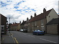
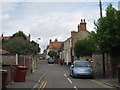
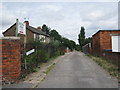
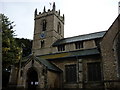
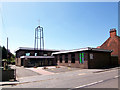
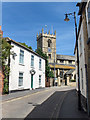
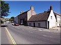
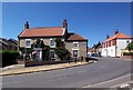
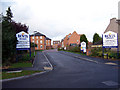
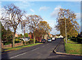
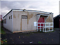
100 photos from this area
Area Information
Key information about the DN15 9SB including its size, population, and administrative classification.
- Area Type
- Postcode
- Area Size
- 9577 m²
- Population
- 1695
- Population Density
- 181 people/km²
House Prices in DN15 9SB
17
Properties
£110,278
Average Sold Price
£29,500
Lowest Price
£225,000
Highest Price
Showing 17 properties
| Address | Type | Beds | Baths | Last Sale Price | Last Sale Date | |
|---|---|---|---|---|---|---|
| 24 Sowers Lane, Winterton, DN15 9SB | Cottage | 4 | 1 | £130,000 | Aug 2025 | |
| 30 Sowers Lane, Winterton, DN15 9SB | Semi-detached | 3 | 1 | £225,000 | Nov 2024 | |
| 10 Sowers Lane, Winterton, DN15 9SB | Bungalow | - | - | £200,000 | Aug 2021 | |
| 22 Sowers Lane, Winterton, DN15 9SB | house | - | - | £90,000 | Mar 2018 | |
| 34 Sowers Lane, Winterton, DN15 9SB | house | - | - | £115,000 | Jun 2011 | |
| 8 Sowers Lane, Winterton, DN15 9SB | Detached | - | - | £29,500 | Nov 2001 | |
| 4 Sowers Lane, Winterton, DN15 9SB | Semi-detached | - | - | £79,000 | Mar 2001 | |
| 32 Sowers Lane, Winterton, DN15 9SB | Detached | - | - | £87,000 | Jan 2001 | |
| 16 Sowers Lane, Winterton, DN15 9SB | Detached | - | - | £37,000 | Nov 1995 | |
| 12 Sowers Lane, Winterton, DN15 9SB | Bungalow | 2 | 1 | - | - |
Page 1 of 2
Energy Efficiency in DN15 9SB
Amenities
Schools
| Rank | School | Type | Entry gender | Ages |
|---|
Explore more schools in this area
Go to Schools tabDemographics
Household Size
Two person
most common
Accommodation Type
Houses
most common
Tenure
84
majority
Ethnic Group
White
most common
Religion
N/A
most common
Household Composition
N/A
most common
Age
47
median
Adults (30-64 years)
most common
Household Deprivation
N/A
with no deprivation
NS-SEC
31
in Lower managerial occupations
Explore more demographic insights in this area
Go to Demographics tabPlanning
Planning Constraints
- Flood RiskPremium
- Ramsar Wetland SitesPremium
- Area of Outstanding Natural BeautyPremium
- Protected Nature ReservePremium
- Protected WoodlandPremium