Area Overview for DN15 9PY
Photos of DN15 9PY

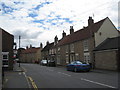
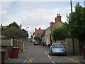
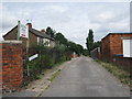
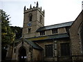
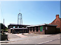
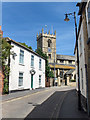
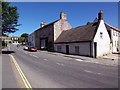
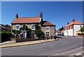
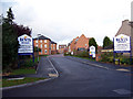
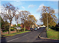
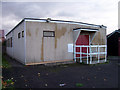
100 photos from this area
Area Information
Key information about the DN15 9PY including its size, population, and administrative classification.
- Area Type
- Postcode
- Area Size
- 6092 m²
- Population
- 1500
- Population Density
- 549 people/km²
House Prices in DN15 9PY
10
Properties
£140,064
Average Sold Price
£40,000
Lowest Price
£240,000
Highest Price
Showing 10 properties
| Address | Type | Beds | Baths | Last Sale Price | Last Sale Date | |
|---|---|---|---|---|---|---|
| 10 Northlands Road, Winterton, DN15 9PY | house | 3 | - | £126,500 | Dec 2021 | |
| 10A Northlands Road, Winterton, DN15 9PY | house | - | - | £210,000 | Aug 2021 | |
| 18 Northlands Road, Winterton, DN15 9PY | Semi-detached | 3 | - | £157,450 | Feb 2021 | |
| Tendale, 16 Northlands Road, Winterton, DN15 9PY | Semi-detached | 3 | 1 | £135,000 | Jan 2021 | |
| 6 Northlands Road, Winterton, DN15 9PY | house | - | - | £40,000 | Nov 2012 | |
| The Poplars, 26 Northlands Road, Winterton, DN15 9PY | house | - | - | £240,000 | Apr 2009 | |
| Crooked Cottage, 8 Northlands Road, Winterton, DN15 9PY | house | 2 | 1 | £71,500 | May 2008 | |
| Crantock, 20 Northlands Road, Winterton, DN15 9PY | Semi-detached | 3 | 1 | - | - | |
| Sommerville, 14 Northlands Road, Winterton, DN15 9PY | Semi-detached | - | - | - | - | |
| 12 Northlands Road, Winterton, DN15 9PY | Bungalow | - | - | - | - |
Energy Efficiency in DN15 9PY
Amenities
Schools
| Rank | School | Type | Entry gender | Ages |
|---|
Explore more schools in this area
Go to Schools tabDemographics
Household Size
Two person
most common
Accommodation Type
Houses
most common
Tenure
82
majority
Ethnic Group
White
most common
Religion
N/A
most common
Household Composition
N/A
most common
Age
47
median
Adults (30-64 years)
most common
Household Deprivation
N/A
with no deprivation
NS-SEC
29
in Lower managerial occupations
Explore more demographic insights in this area
Go to Demographics tabPlanning
Planning Constraints
- Flood RiskPremium
- Ramsar Wetland SitesPremium
- Area of Outstanding Natural BeautyPremium
- Protected Nature ReservePremium
- Protected WoodlandPremium