Area Overview for DN15 8RL
Photos of DN15 8RL
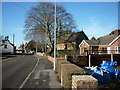
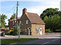

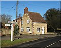
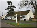
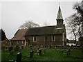
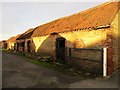
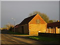
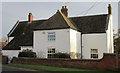
58 photos from this area
Area Information
Key information about the DN15 8RL including its size, population, and administrative classification.
- Area Type
- Postcode
- Area Size
- 18.1 hectares
- Population
- 1592
- Population Density
- 117 people/km²
House Prices in DN15 8RL
30
Properties
£145,389
Average Sold Price
£51,500
Lowest Price
£400,000
Highest Price
Showing 30 properties
| Address | Type | Beds | Baths | Last Sale Price | Last Sale Date | |
|---|---|---|---|---|---|---|
| Lilac Cottage, 5 High Street, Flixborough, DN15 8RL | Detached | 4 | 1 | £400,000 | Jan 2021 | |
| Hollydene, 3 High Street, Flixborough, DN15 8RL | Bungalow | 3 | 1 | £247,500 | Jun 2020 | |
| 15 High Street, Flixborough, DN15 8RL | house | - | - | £131,500 | Jul 2016 | |
| Arundel, 9 High Street, Flixborough, DN15 8RL | Semi-detached | 4 | 2 | £165,000 | Mar 2015 | |
| 8 High Street, Flixborough, DN15 8RL | Semi-detached | 3 | 2 | £150,000 | Jun 2014 | |
| Gillnough, 22 High Street, Flixborough, DN15 8RL | Bungalow | 2 | - | £97,500 | Feb 2013 | |
| Roxboro, 17 High Street, Flixborough, DN15 8RL | house | - | - | £132,500 | Sep 2012 | |
| Edon, 11 High Street, Flixborough, DN15 8RL | Semi-detached | 3 | 1 | £142,000 | Jun 2012 | |
| 21 High Street, Flixborough, DN15 8RL | Detached | - | - | £177,000 | Aug 2006 | |
| Keelholme, 18 High Street, Flixborough, DN15 8RL | Detached | - | - | £58,950 | Sep 2000 |
Page 1 of 3
Energy Efficiency in DN15 8RL
Amenities
Schools
| Rank | School | Type | Entry gender | Ages |
|---|
Explore more schools in this area
Go to Schools tabDemographics
Household Size
Two person
most common
Accommodation Type
Houses
most common
Tenure
74
majority
Ethnic Group
White
most common
Religion
N/A
most common
Household Composition
N/A
most common
Age
47
median
Adults (30-64 years)
most common
Household Deprivation
N/A
with no deprivation
NS-SEC
27
in Lower managerial occupations
Explore more demographic insights in this area
Go to Demographics tabPlanning
Planning Constraints
- Flood RiskPremium
- Ramsar Wetland SitesPremium
- Area of Outstanding Natural BeautyPremium
- Protected Nature ReservePremium
- Protected WoodlandPremium