Area Overview for DN15 8JY
Photos of DN15 8JY
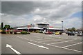
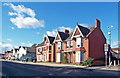
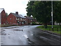
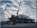
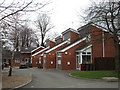
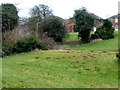
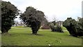
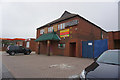
52 photos from this area
Area Information
Key information about the DN15 8JY including its size, population, and administrative classification.
- Area Type
- Postcode
- Area Size
- 1.0 hectares
- Population
- 1604
- Population Density
- 4916 people/km²
House Prices in DN15 8JY
32
Properties
£72,532
Average Sold Price
£24,950
Lowest Price
£120,000
Highest Price
Showing 32 properties
| Address | Type | Beds | Baths | Last Sale Price | Last Sale Date | |
|---|---|---|---|---|---|---|
| 51 Farthing Avenue, Scunthorpe, DN15 8JY | Semi-detached | 3 | 1 | £120,000 | May 2024 | |
| 55 Farthing Avenue, Scunthorpe, DN15 8JY | Semi-detached | 3 | 1 | £116,000 | Apr 2024 | |
| 65 Farthing Avenue, Scunthorpe, DN15 8JY | Semi-detached | 2 | 1 | £75,000 | Jul 2019 | |
| 47 Farthing Avenue, Scunthorpe, DN15 8JY | Semi-detached | 3 | 1 | £79,000 | Jun 2019 | |
| 41 Farthing Avenue, Scunthorpe, DN15 8JY | house | - | - | £67,000 | Feb 2016 | |
| 69 Farthing Avenue, Scunthorpe, DN15 8JY | house | 2 | - | £67,950 | Jun 2011 | |
| 33 Farthing Avenue, Scunthorpe, DN15 8JY | Semi-detached | 3 | 1 | £66,000 | Mar 2007 | |
| 27 Farthing Avenue, Scunthorpe, DN15 8JY | house | - | - | £78,000 | Sep 2006 | |
| 37 Farthing Avenue, Scunthorpe, DN15 8JY | Semi-detached | - | - | £75,000 | Dec 2005 | |
| 57 Farthing Avenue, Scunthorpe, DN15 8JY | Semi-detached | - | - | £28,950 | Jul 2001 |
Page 1 of 4
Energy Efficiency in DN15 8JY
Amenities
Schools
| Rank | School | Type | Entry gender | Ages |
|---|
Explore more schools in this area
Go to Schools tabDemographics
Household Size
Family (3-5 people)
most common
Accommodation Type
Houses
most common
Tenure
27
majority
Ethnic Group
White
most common
Religion
N/A
most common
Household Composition
N/A
most common
Age
47
median
Adults (30-64 years)
most common
Household Deprivation
N/A
with no deprivation
NS-SEC
11
in Lower managerial occupations
Explore more demographic insights in this area
Go to Demographics tabPlanning
Planning Constraints
- Flood RiskPremium
- Ramsar Wetland SitesPremium
- Area of Outstanding Natural BeautyPremium
- Protected Nature ReservePremium
- Protected WoodlandPremium