Area Overview for DN14 9FA
Photos of DN14 9FA


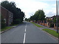
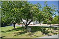
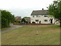
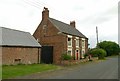
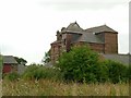
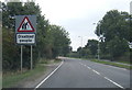
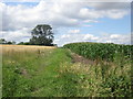
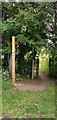
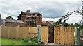
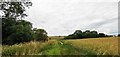
22 photos from this area
Area Information
Key information about the DN14 9FA including its size, population, and administrative classification.
- Area Type
- Postcode
- Area Size
- 7866 m²
- Population
- 1801
- Population Density
- 87 people/km²
House Prices in DN14 9FA
23
Properties
£311,704
Average Sold Price
£249,370
Lowest Price
£392,500
Highest Price
Showing 23 properties
| Address | Type | Beds | Baths | Last Sale Price | Last Sale Date | |
|---|---|---|---|---|---|---|
| 10 Waddington Drive, Snaith, DN14 9FA | Detached | 4 | 3 | £392,500 | Aug 2023 | |
| 11 Waddington Drive, Snaith, DN14 9FA | Detached | 4 | 1 | £330,000 | May 2023 | |
| 12 Waddington Drive, Snaith, DN14 9FA | house | - | - | £385,000 | Feb 2022 | |
| 21 Waddington Drive, Snaith, DN14 9FA | Detached | 4 | 2 | £339,995 | Sep 2020 | |
| 22 Waddington Drive, Snaith, DN14 9FA | house | - | - | £314,995 | Aug 2020 | |
| 20 Waddington Drive, Snaith, DN14 9FA | Detached | 4 | 2 | £339,995 | Jul 2020 | |
| 19 Waddington Drive, Snaith, DN14 9FA | Detached | 4 | 2 | £294,995 | Mar 2019 | |
| 16 Waddington Drive, Snaith, DN14 9FA | house | - | - | £332,995 | Mar 2019 | |
| 15 Waddington Drive, Snaith, DN14 9FA | house | - | - | £352,995 | Jan 2019 | |
| 8 Waddington Drive, Snaith, DN14 9FA | house | - | - | £249,370 | Dec 2018 |
Page 1 of 3
Energy Efficiency in DN14 9FA
Amenities
Schools
| Rank | School | Type | Entry gender | Ages |
|---|
Explore more schools in this area
Go to Schools tabDemographics
Household Size
Two person
most common
Accommodation Type
Houses
most common
Tenure
79
majority
Ethnic Group
White
most common
Religion
N/A
most common
Household Composition
N/A
most common
Age
47
median
Adults (30-64 years)
most common
Household Deprivation
N/A
with no deprivation
NS-SEC
36
in Lower managerial occupations
Explore more demographic insights in this area
Go to Demographics tabPlanning
Planning Constraints
- Flood RiskPremium
- Ramsar Wetland SitesPremium
- Area of Outstanding Natural BeautyPremium
- Protected Nature ReservePremium
- Protected WoodlandPremium