Area Overview for DN14 8AG
Photos of DN14 8AG
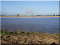
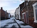
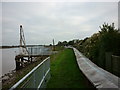


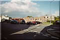
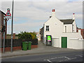
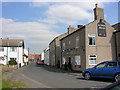
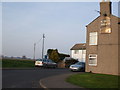
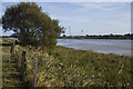
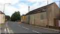
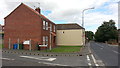
47 photos from this area
Area Information
Key information about the DN14 8AG including its size, population, and administrative classification.
- Area Type
- Postcode
- Area Size
- 56.8 hectares
- Population
- 1867
- Population Density
- 37 people/km²
House Prices in DN14 8AG
26
Properties
£111,342
Average Sold Price
£49,500
Lowest Price
£220,000
Highest Price
Showing 26 properties
| Address | Type | Beds | Baths | Last Sale Price | Last Sale Date | |
|---|---|---|---|---|---|---|
| 4 High Street, Swinefleet, DN14 8AG | house | 2 | 2 | £165,500 | Sep 2025 | |
| 14 High Street, Swinefleet, DN14 8AG | Terraced | 3 | 1 | £110,000 | Oct 2024 | |
| 33 High Street, Swinefleet, DN14 8AG | Terraced | 2 | 1 | £95,000 | Mar 2022 | |
| 6 High Street, Swinefleet, DN14 8AG | house | - | - | £140,000 | Sep 2021 | |
| 31 High Street, Swinefleet, DN14 8AG | Terraced | 3 | 2 | £160,000 | Aug 2021 | |
| 15 High Street, Swinefleet, DN14 8AG | Semi-detached | 2 | 1 | £113,500 | May 2019 | |
| 18 High Street, Swinefleet, DN14 8AG | house | - | - | £220,000 | Sep 2017 | |
| 1 High Street, Swinefleet, DN14 8AG | house | 3 | - | £95,000 | Aug 2014 | |
| 3 High Street, Swinefleet, DN14 8AG | house | - | - | £115,000 | May 2014 | |
| The Manse, 2 High Street, Swinefleet, DN14 8AG | house | 4 | - | £75,000 | Mar 2006 |
Page 1 of 3
Energy Efficiency in DN14 8AG
Amenities
Schools
| Rank | School | Type | Entry gender | Ages |
|---|
Explore more schools in this area
Go to Schools tabDemographics
Household Size
Two person
most common
Accommodation Type
Houses
most common
Tenure
83
majority
Ethnic Group
White
most common
Religion
N/A
most common
Household Composition
N/A
most common
Age
47
median
Adults (30-64 years)
most common
Household Deprivation
N/A
with no deprivation
NS-SEC
37
in Lower managerial occupations
Explore more demographic insights in this area
Go to Demographics tabPlanning
Planning Constraints
- Flood RiskPremium
- Ramsar Wetland SitesPremium
- Area of Outstanding Natural BeautyPremium
- Protected Nature ReservePremium
- Protected WoodlandPremium