Area Overview for DN14 7EE
Photos of DN14 7EE
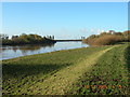
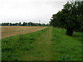
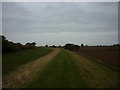
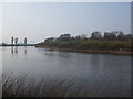
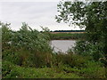
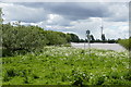
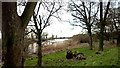
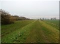

33 photos from this area
Area Information
Key information about the DN14 7EE including its size, population, and administrative classification.
- Area Type
- Postcode
- Area Size
- 1.1 km²
- Population
- 1786
- Population Density
- 117 people/km²
House Prices in DN14 7EE
10
Properties
£229,875
Average Sold Price
£99,500
Lowest Price
£455,000
Highest Price
Showing 10 properties
| Address | Type | Beds | Baths | Last Sale Price | Last Sale Date | |
|---|---|---|---|---|---|---|
| Villa Farm, The Lane, Booth, DN14 7EE | house | - | - | £455,000 | Jul 2009 | |
| Rose Cottage, The Lane, Booth, DN14 7EE | Detached | 2 | 1 | £125,000 | Jan 2005 | |
| White Cottage, The Lane, Booth, DN14 7EE | Detached | - | - | £240,000 | Sep 2004 | |
| Booth Farm, The Lane, Booth, DN14 7EE | house | - | - | £99,500 | Sep 1999 | |
| Art-booth Gallery, Booth Farm, The Lane, Booth, DN14 7EE | shop | - | - | - | - | |
| The Stables, Booth Farm, The Lane, Booth, DN14 7EE | house | - | - | - | - | |
| Old Percy Arms, The Lane, Booth, DN14 7EE | house | - | - | - | - | |
| The Dovecote, Booth Farm, The Lane, Booth, DN14 7EE | Semi-detached | 2 | 1 | - | - | |
| Plum Cottage, The Lane, Booth, DN14 7EE | house | - | - | - | - | |
| Hop Auctions.com Limited, Villa Farm Store, The Lane, Booth, DN14 7EE | warehouse | - | - | - | - |
Energy Efficiency in DN14 7EE
Amenities
Schools
| Rank | School | Type | Entry gender | Ages |
|---|
Explore more schools in this area
Go to Schools tabDemographics
Household Size
Two person
most common
Accommodation Type
Houses
most common
Tenure
90
majority
Ethnic Group
White
most common
Religion
N/A
most common
Household Composition
N/A
most common
Age
47
median
Adults (30-64 years)
most common
Household Deprivation
N/A
with no deprivation
NS-SEC
43
in Lower managerial occupations
Explore more demographic insights in this area
Go to Demographics tabPlanning
Planning Constraints
- Flood RiskPremium
- Ramsar Wetland SitesPremium
- Area of Outstanding Natural BeautyPremium
- Protected Nature ReservePremium
- Protected WoodlandPremium