Area Overview for DN14 6UH
Photos of DN14 6UH
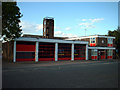
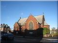
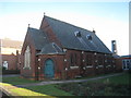
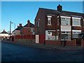
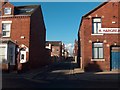
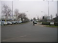
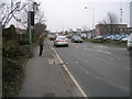
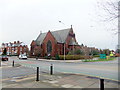
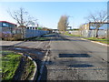
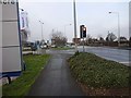
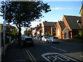
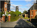
38 photos from this area
Area Information
Key information about the DN14 6UH including its size, population, and administrative classification.
- Area Type
- Postcode
- Area Size
- 1.9 hectares
- Population
- 1797
- Population Density
- 655 people/km²
House Prices in DN14 6UH
7
Properties
£276,200
Average Sold Price
£99,000
Lowest Price
£420,000
Highest Price
Showing 7 properties
| Address | Type | Beds | Baths | Last Sale Price | Last Sale Date | |
|---|---|---|---|---|---|---|
| Oakwood House, Rawcliffe Road, Goole, DN14 6UH | Bungalow | 4 | 2 | £420,000 | Dec 2025 | |
| The Lilacs, Rawcliffe Road, Goole, DN14 6UH | Detached | 3 | 2 | £290,000 | Jan 2021 | |
| Acacia, Rawcliffe Road, Goole, DN14 6UH | Bungalow | - | - | £279,000 | Mar 2018 | |
| Rosecroft, Rawcliffe Road, Goole, DN14 6UH | Bungalow | 3 | 2 | £293,000 | Sep 2007 | |
| Sorrento, Rawcliffe Road, Goole, DN14 6UH | Detached | - | - | £99,000 | Jul 2000 | |
| New Potter Grange Bungalow, Rawcliffe Road, Goole, DN14 6UH | undefined | - | - | - | - | |
| The Annexe, The Lilacs, Rawcliffe Road, Goole, DN14 6UH | Flat | - | - | - | - |
Energy Efficiency in DN14 6UH
Amenities
Schools
| Rank | School | Type | Entry gender | Ages |
|---|
Explore more schools in this area
Go to Schools tabDemographics
Household Size
Two person
most common
Accommodation Type
Houses
most common
Tenure
70
majority
Ethnic Group
White
most common
Religion
N/A
most common
Household Composition
N/A
most common
Age
47
median
Adults (30-64 years)
most common
Household Deprivation
N/A
with no deprivation
NS-SEC
20
in Lower managerial occupations
Explore more demographic insights in this area
Go to Demographics tabPlanning
Planning Constraints
- Flood RiskPremium
- Ramsar Wetland SitesPremium
- Area of Outstanding Natural BeautyPremium
- Protected Nature ReservePremium
- Protected WoodlandPremium