Area Overview for DN14 6AB
Photos of DN14 6AB
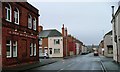
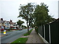
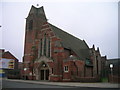
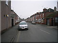
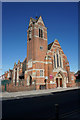
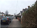
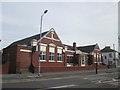
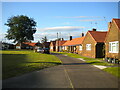
32 photos from this area
Area Information
Key information about the DN14 6AB including its size, population, and administrative classification.
- Area Type
- Postcode
- Area Size
- 3.2 hectares
- Population
- 2293
- Population Density
- 3583 people/km²
House Prices in DN14 6AB
78
Properties
£177,505
Average Sold Price
£105,000
Lowest Price
£330,000
Highest Price
Showing 78 properties
| Address | Type | Beds | Baths | Last Sale Price | Last Sale Date | |
|---|---|---|---|---|---|---|
| 65 Captains Close, Goole, DN14 6AB | Detached | 3 | 1 | £195,000 | Dec 2025 | |
| 24 Captains Close, Goole, DN14 6AB | Detached | 3 | 1 | £175,000 | Sep 2025 | |
| 71 Captains Close, Goole, DN14 6AB | Detached | 3 | 2 | £260,000 | Apr 2025 | |
| 19 Captains Close, Goole, DN14 6AB | house | 3 | 1 | £180,000 | Feb 2025 | |
| 8 Captains Close, Goole, DN14 6AB | Detached | 4 | 2 | £330,000 | Jan 2025 | |
| 17 Captains Close, Goole, DN14 6AB | Semi-detached | 3 | 1 | £185,000 | Mar 2024 | |
| 40 Captains Close, Goole, DN14 6AB | house | - | - | £215,000 | Nov 2023 | |
| 60 Captains Close, Goole, DN14 6AB | house | 4 | - | £218,000 | Jun 2023 | |
| 3 Captains Close, Goole, DN14 6AB | house | 4 | - | £137,000 | Jun 2021 | |
| 59 Captains Close, Goole, DN14 6AB | Semi-detached | 3 | 1 | £158,000 | Mar 2021 |
Page 1 of 8
Energy Efficiency in DN14 6AB
Amenities
Schools
| Rank | School | Type | Entry gender | Ages |
|---|
Explore more schools in this area
Go to Schools tabDemographics
Household Size
Two person
most common
Accommodation Type
Houses
most common
Tenure
86
majority
Ethnic Group
White
most common
Religion
N/A
most common
Household Composition
N/A
most common
Age
47
median
Adults (30-64 years)
most common
Household Deprivation
N/A
with no deprivation
NS-SEC
26
in Lower managerial occupations
Explore more demographic insights in this area
Go to Demographics tabPlanning
Planning Constraints
- Flood RiskPremium
- Ramsar Wetland SitesPremium
- Area of Outstanding Natural BeautyPremium
- Protected Nature ReservePremium
- Protected WoodlandPremium