Area Overview for DN14 5TU
Photos of DN14 5TU

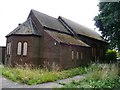
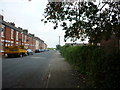
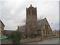

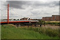
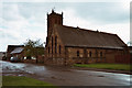
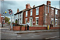


100 photos from this area
Area Information
Key information about the DN14 5TU including its size, population, and administrative classification.
- Area Type
- Postcode
- Area Size
- 7528 m²
- Population
- 1831
- Population Density
- 2330 people/km²
House Prices in DN14 5TU
32
Properties
£52,108
Average Sold Price
£12,500
Lowest Price
£96,000
Highest Price
Showing 32 properties
| Address | Type | Beds | Baths | Last Sale Price | Last Sale Date | |
|---|---|---|---|---|---|---|
| 83 Moorland Road, Goole, DN14 5TU | Terraced | 2 | 1 | £53,000 | Mar 2023 | |
| 71 Moorland Road, Goole, DN14 5TU | Terraced | 3 | 1 | £96,000 | Feb 2021 | |
| 69 Moorland Road, Goole, DN14 5TU | house | - | - | £57,600 | Nov 2020 | |
| 77 Moorland Road, Goole, DN14 5TU | Terraced | 3 | 1 | £90,000 | Sep 2020 | |
| 75 Moorland Road, Goole, DN14 5TU | Terraced | 3 | 1 | £50,000 | Jun 2019 | |
| 103 Moorland Road, Goole, DN14 5TU | Terraced | 3 | 1 | £93,000 | May 2016 | |
| 63 Moorland Road, Goole, DN14 5TU | house | - | - | £47,000 | Jan 2016 | |
| 105 Moorland Road, Goole, DN14 5TU | house | - | - | £60,000 | Oct 2013 | |
| 91 Moorland Road, Goole, DN14 5TU | Terraced | 3 | 1 | £72,000 | Jun 2013 | |
| 55 Moorland Road, Goole, DN14 5TU | house | - | - | £70,000 | Jul 2008 |
Page 1 of 4
Energy Efficiency in DN14 5TU
Amenities
Schools
| Rank | School | Type | Entry gender | Ages |
|---|
Explore more schools in this area
Go to Schools tabDemographics
Household Size
Family (3-5 people)
most common
Accommodation Type
Houses
most common
Tenure
48
majority
Ethnic Group
White
most common
Religion
N/A
most common
Household Composition
N/A
most common
Age
47
median
Adults (30-64 years)
most common
Household Deprivation
N/A
with no deprivation
NS-SEC
14
in Lower managerial occupations
Explore more demographic insights in this area
Go to Demographics tabPlanning
Planning Constraints
- Flood RiskPremium
- Ramsar Wetland SitesPremium
- Area of Outstanding Natural BeautyPremium
- Protected Nature ReservePremium
- Protected WoodlandPremium