Area Overview for DN14 5PL
Photos of DN14 5PL
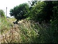
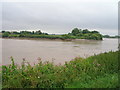
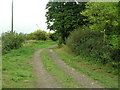
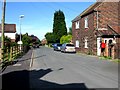

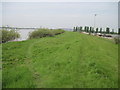

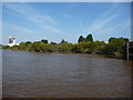
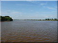

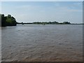
60 photos from this area
Area Information
Key information about the DN14 5PL including its size, population, and administrative classification.
- Area Type
- Postcode
- Area Size
- 1.6 km²
- Population
- 1786
- Population Density
- 117 people/km²
House Prices in DN14 5PL
44
Properties
£200,347
Average Sold Price
£39,500
Lowest Price
£350,000
Highest Price
Showing 44 properties
| Address | Type | Beds | Baths | Last Sale Price | Last Sale Date | |
|---|---|---|---|---|---|---|
| 149 High Street, Hook, DN14 5PL | Terraced | 2 | 1 | £112,500 | Jun 2024 | |
| Rosebank, 182 High Street, Hook, DN14 5PL | Detached | 3 | 2 | £295,000 | Feb 2021 | |
| 157 High Street, Hook, DN14 5PL | house | 2 | 1 | £87,000 | Feb 2020 | |
| 172 High Street, Hook, DN14 5PL | Detached | 4 | 2 | £350,000 | Aug 2019 | |
| 194 High Street, Hook, DN14 5PL | Detached | 4 | 4 | £315,000 | Aug 2019 | |
| 164 High Street, Hook, DN14 5PL | Detached | 5 | 2 | £340,000 | Jul 2019 | |
| The Cedars, High Street, Hook, DN14 5PL | Bungalow | - | - | £175,000 | Mar 2019 | |
| 169 High Street, Hook, DN14 5PL | Detached | 2 | 1 | £160,000 | Jan 2019 | |
| Pamukalle, 184 High Street, Hook, DN14 5PL | Detached | 4 | 2 | £265,000 | Oct 2017 | |
| 190 High Street, Hook, DN14 5PL | Detached | 4 | 2 | £227,000 | Sep 2017 |
Page 1 of 5
Energy Efficiency in DN14 5PL
Amenities
Schools
| Rank | School | Type | Entry gender | Ages |
|---|
Explore more schools in this area
Go to Schools tabDemographics
Household Size
Two person
most common
Accommodation Type
Houses
most common
Tenure
90
majority
Ethnic Group
White
most common
Religion
N/A
most common
Household Composition
N/A
most common
Age
47
median
Adults (30-64 years)
most common
Household Deprivation
N/A
with no deprivation
NS-SEC
43
in Lower managerial occupations
Explore more demographic insights in this area
Go to Demographics tabPlanning
Planning Constraints
- Flood RiskPremium
- Ramsar Wetland SitesPremium
- Area of Outstanding Natural BeautyPremium
- Protected Nature ReservePremium
- Protected WoodlandPremium