Area Overview for DN14 5JZ
Photos of DN14 5JZ
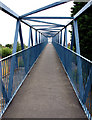
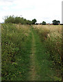
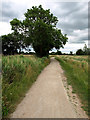
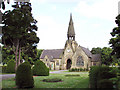
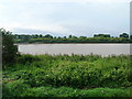
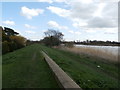
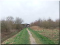
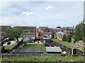
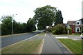
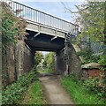
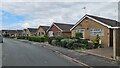
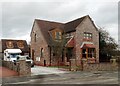
31 photos from this area
Area Information
Key information about the DN14 5JZ including its size, population, and administrative classification.
- Area Type
- Postcode
- Area Size
- 1.4 hectares
- Population
- 1437
- Population Density
- 2281 people/km²
House Prices in DN14 5JZ
19
Properties
£143,694
Average Sold Price
£50,000
Lowest Price
£210,000
Highest Price
Showing 19 properties
| Address | Type | Beds | Baths | Last Sale Price | Last Sale Date | |
|---|---|---|---|---|---|---|
| 126 Hook Road, Goole, DN14 5JZ | Semi-detached | 3 | 1 | £206,330 | Apr 2020 | |
| 122 Hook Road, Goole, DN14 5JZ | house | - | - | £206,000 | Mar 2020 | |
| 144 Hook Road, Goole, DN14 5JZ | Semi-detached | 4 | 1 | £210,000 | Oct 2018 | |
| 142 Hook Road, Goole, DN14 5JZ | house | - | - | £185,000 | Dec 2013 | |
| 132 Hook Road, Goole, DN14 5JZ | house | - | - | £166,000 | Jul 2012 | |
| 136 Hook Road, Goole, DN14 5JZ | Semi-detached | - | - | £170,000 | Apr 2012 | |
| 130 Hook Road, Goole, DN14 5JZ | Semi-detached | 3 | - | £152,000 | Dec 2005 | |
| 124 Hook Road, Goole, DN14 5JZ | Semi-detached | - | - | £161,000 | Dec 2005 | |
| 158 Hook Road, Goole, DN14 5JZ | Semi-detached | - | - | £76,000 | May 2002 | |
| 134 Hook Road, Goole, DN14 5JZ | Semi-detached | - | - | £80,000 | Dec 2001 |
Page 1 of 2
Energy Efficiency in DN14 5JZ
Amenities
Schools
| Rank | School | Type | Entry gender | Ages |
|---|
Explore more schools in this area
Go to Schools tabDemographics
Household Size
Two person
most common
Accommodation Type
Houses
most common
Tenure
63
majority
Ethnic Group
White
most common
Religion
N/A
most common
Household Composition
N/A
most common
Age
47
median
Adults (30-64 years)
most common
Household Deprivation
N/A
with no deprivation
NS-SEC
24
in Lower managerial occupations
Explore more demographic insights in this area
Go to Demographics tabPlanning
Planning Constraints
- Flood RiskPremium
- Ramsar Wetland SitesPremium
- Area of Outstanding Natural BeautyPremium
- Protected Nature ReservePremium
- Protected WoodlandPremium