Area Overview for DN14 0SP
Photos of DN14 0SP
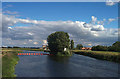
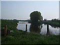
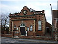
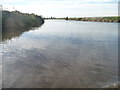
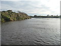
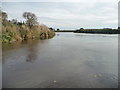

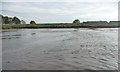
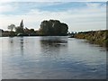
70 photos from this area
Area Information
Key information about the DN14 0SP including its size, population, and administrative classification.
- Area Type
- Postcode
- Area Size
- 4564 m²
- Population
- 2334
- Population Density
- 45 people/km²
House Prices in DN14 0SP
10
Properties
£201,786
Average Sold Price
£67,000
Lowest Price
£300,000
Highest Price
Showing 10 properties
| Address | Type | Beds | Baths | Last Sale Price | Last Sale Date | |
|---|---|---|---|---|---|---|
| The Arches, Main Street, Beal, DN14 0SP | Bungalow | 3 | 1 | £230,000 | Oct 2023 | |
| Cartref, Main Street, Beal, DN14 0SP | Semi-detached | 3 | 1 | £255,500 | Mar 2023 | |
| Old School House, Main Street, Beal, DN14 0SP | Semi-detached | 4 | 2 | £300,000 | Dec 2021 | |
| Corner House, Main Street, Beal, DN14 0SP | Detached | 3 | 1 | £205,000 | Mar 2017 | |
| Sandy Lea, Main Street, Beal, DN14 0SP | Detached | 5 | 2 | £175,000 | Mar 2017 | |
| Airedale House, Main Street, Beal, DN14 0SP | Detached | 3 | 1 | £180,000 | Mar 2013 | |
| Ingleby, Main Street, Beal, DN14 0SP | Semi-detached | - | - | £67,000 | Apr 1999 | |
| Lynley Cottage, Main Street, Beal, DN14 0SP | Detached | - | - | - | - | |
| Nolana, Main Street, Beal, DN14 0SP | Detached | - | - | - | - | |
| Annexe At, Sandy Lea, Main Street, Beal, DN14 0SP | Flat | - | - | - | - |
Energy Efficiency in DN14 0SP
Amenities
Schools
| Rank | School | Type | Entry gender | Ages |
|---|
Explore more schools in this area
Go to Schools tabDemographics
Household Size
Two person
most common
Accommodation Type
Houses
most common
Tenure
80
majority
Ethnic Group
White
most common
Religion
N/A
most common
Household Composition
N/A
most common
Age
47
median
Adults (30-64 years)
most common
Household Deprivation
N/A
with no deprivation
NS-SEC
39
in Lower managerial occupations
Explore more demographic insights in this area
Go to Demographics tabPlanning
Planning Constraints
- Flood RiskPremium
- Ramsar Wetland SitesPremium
- Area of Outstanding Natural BeautyPremium
- Protected Nature ReservePremium
- Protected WoodlandPremium