Area Overview for DL8 5ND
Photos of DL8 5ND
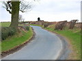
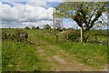
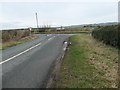
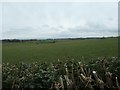
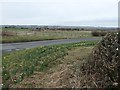

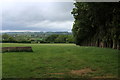
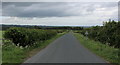
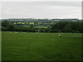
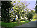
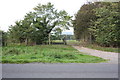
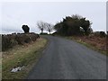
19 photos from this area
Area Information
Key information about the DL8 5ND including its size, population, and administrative classification.
- Area Type
- Postcode
- Area Size
- 41.0 hectares
- Population
- 1498
- Population Density
- 23 people/km²
House Prices in DL8 5ND
37
Properties
£375,176
Average Sold Price
£18,000
Lowest Price
£1,290,000
Highest Price
Showing 37 properties
| Address | Type | Beds | Baths | Last Sale Price | Last Sale Date | |
|---|---|---|---|---|---|---|
| Parkside, Hargill Lane, Finghall, DL8 5ND | house | - | - | £515,000 | Jan 2024 | |
| Finghall Manor, Main Street, Finghall, DL8 5ND | Semi-detached | 7 | 3 | £1,290,000 | Jun 2023 | |
| Southwick Cottage, Main Street, Finghall, DL8 5ND | house | - | - | £390,000 | Jan 2021 | |
| Lanyon Barn, Main Street, Finghall, DL8 5ND | Detached | - | - | £18,000 | Jan 2020 | |
| Blew House Farm, Main Street, Finghall, DL8 5ND | house | - | - | £265,000 | Feb 2019 | |
| Woodbank House, Main Street, Finghall, DL8 5ND | house | - | - | £120,000 | Mar 2018 | |
| Fox Covert House, Main Street, Finghall, DL8 5ND | house | - | - | £489,500 | Nov 2017 | |
| Rose Cottage, Main Street, Finghall, DL8 5ND | Detached | 3 | - | £390,000 | Oct 2017 | |
| Blew House Barn, Main Street, Finghall, DL8 5ND | house | - | - | £262,000 | Oct 2017 | |
| Michaelmas, Main Street, Finghall, DL8 5ND | house | - | - | £258,500 | Apr 2017 |
Page 1 of 4
Energy Efficiency in DL8 5ND
Amenities
Schools
| Rank | School | Type | Entry gender | Ages |
|---|
Explore more schools in this area
Go to Schools tabDemographics
Household Size
Two person
most common
Accommodation Type
Houses
most common
Tenure
72
majority
Ethnic Group
White
most common
Religion
N/A
most common
Household Composition
N/A
most common
Age
47
median
Adults (30-64 years)
most common
Household Deprivation
N/A
with no deprivation
NS-SEC
41
in Lower managerial occupations
Explore more demographic insights in this area
Go to Demographics tabPlanning
Planning Constraints
- Flood RiskPremium
- Ramsar Wetland SitesPremium
- Area of Outstanding Natural BeautyPremium
- Protected Nature ReservePremium
- Protected WoodlandPremium