Area Overview for DL8 2BH
Photos of DL8 2BH
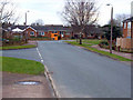
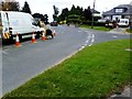
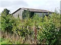
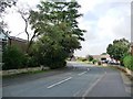
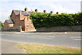
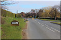
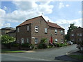
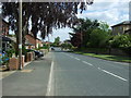
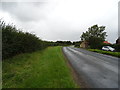
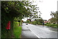
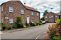
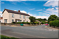
33 photos from this area
Area Information
Key information about the DL8 2BH including its size, population, and administrative classification.
- Area Type
- Postcode
- Area Size
- 8672 m²
- Population
- 1712
- Population Density
- 271 people/km²
House Prices in DL8 2BH
9
Properties
£239,333
Average Sold Price
£76,000
Lowest Price
£302,500
Highest Price
Showing 9 properties
| Address | Type | Beds | Baths | Last Sale Price | Last Sale Date | |
|---|---|---|---|---|---|---|
| Brancepeth, 48 Firby Road, Bedale, DL8 2BH | Bungalow | - | - | £300,000 | May 2024 | |
| 56 Firby Road, Bedale, DL8 2BH | Bungalow | - | - | £260,000 | Jul 2020 | |
| 60 Firby Road, Bedale, DL8 2BH | house | - | - | £269,500 | Feb 2019 | |
| 54 Firby Road, Bedale, DL8 2BH | Detached | - | - | £228,000 | Feb 2008 | |
| 46 Firby Road, Bedale, DL8 2BH | Detached | - | - | £302,500 | Oct 2006 | |
| 50 Firby Road, Bedale, DL8 2BH | Bungalow | 2 | 1 | £76,000 | Mar 1999 | |
| 58 Firby Road, Bedale, DL8 2BH | Detached | - | - | - | - | |
| Cedarwood, 52 Firby Road, Bedale, DL8 2BH | Bungalow | - | - | - | - | |
| Roker House, 44 Firby Road, Bedale, DL8 2BH | Detached | - | - | - | - |
Energy Efficiency in DL8 2BH
Amenities
Schools
| Rank | School | Type | Entry gender | Ages |
|---|
Explore more schools in this area
Go to Schools tabDemographics
Household Size
Two person
most common
Accommodation Type
Houses
most common
Tenure
68
majority
Ethnic Group
White
most common
Religion
N/A
most common
Household Composition
N/A
most common
Age
47
median
Adults (30-64 years)
most common
Household Deprivation
N/A
with no deprivation
NS-SEC
34
in Lower managerial occupations
Explore more demographic insights in this area
Go to Demographics tabPlanning
Planning Constraints
- Flood RiskPremium
- Ramsar Wetland SitesPremium
- Area of Outstanding Natural BeautyPremium
- Protected Nature ReservePremium
- Protected WoodlandPremium