Area Overview for DL6 3PW
Photos of DL6 3PW
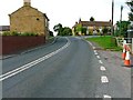
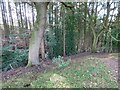
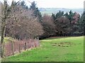
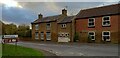
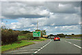
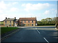
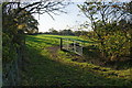
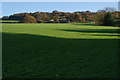
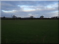
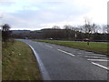
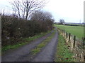
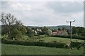
17 photos from this area
Area Information
Key information about the DL6 3PW including its size, population, and administrative classification.
- Area Type
- Postcode
- Area Size
- 27.0 hectares
- Population
- 1721
- Population Density
- 19 people/km²
House Prices in DL6 3PW
13
Properties
£408,688
Average Sold Price
£150,500
Lowest Price
£640,000
Highest Price
Showing 13 properties
| Address | Type | Beds | Baths | Last Sale Price | Last Sale Date | |
|---|---|---|---|---|---|---|
| Braemar, Clack Lane, Osmotherley, DL6 3PW | Detached | 5 | 4 | £620,000 | Mar 2021 | |
| Hill Top View, Clack Lane, Osmotherley, DL6 3PW | Detached | 4 | 3 | £620,000 | Jun 2014 | |
| Ravens Downe, Clack Lane, Osmotherley, DL6 3PW | Bungalow | - | - | £315,000 | Dec 2008 | |
| Hemmelstones, Clack Lane, Osmotherley, DL6 3PW | Detached | - | - | £640,000 | Mar 2008 | |
| St Severus, Clack Lane, Osmotherley, DL6 3PW | Detached | - | - | £360,000 | Oct 2006 | |
| Keyston, Clack Lane, Osmotherley, DL6 3PW | Detached | - | - | £364,000 | Jun 2004 | |
| Clack Bungalow, Clack Lane, Osmotherley, DL6 3PW | Detached | - | - | £150,500 | Mar 2001 | |
| Grasmaand, Clack Lane, Osmotherley, DL6 3PW | Detached | - | - | £200,000 | Aug 1999 | |
| Pine Ridge, Clack Lane, Osmotherley, DL6 3PW | house | - | - | - | - | |
| The Hideaway, Clack Lane, Osmotherley, DL6 3PW | Detached | - | - | - | - |
Page 1 of 2
Energy Efficiency in DL6 3PW
Amenities
Schools
| Rank | School | Type | Entry gender | Ages |
|---|
Explore more schools in this area
Go to Schools tabDemographics
Household Size
Two person
most common
Accommodation Type
Houses
most common
Tenure
74
majority
Ethnic Group
White
most common
Religion
N/A
most common
Household Composition
N/A
most common
Age
47
median
Adults (30-64 years)
most common
Household Deprivation
N/A
with no deprivation
NS-SEC
43
in Lower managerial occupations
Explore more demographic insights in this area
Go to Demographics tabPlanning
Planning Constraints
- Flood RiskPremium
- Ramsar Wetland SitesPremium
- Area of Outstanding Natural BeautyPremium
- Protected Nature ReservePremium
- Protected WoodlandPremium