Area Overview for DL6 1JF
Photos of DL6 1JF
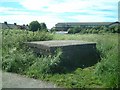

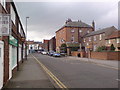


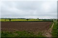

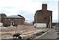
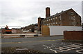
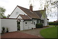

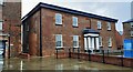
72 photos from this area
Area Information
Key information about the DL6 1JF including its size, population, and administrative classification.
- Area Type
- Postcode
- Area Size
- 1.3 hectares
- Population
- 1358
- Population Density
- 308 people/km²
House Prices in DL6 1JF
34
Properties
£98,317
Average Sold Price
£18,900
Lowest Price
£132,000
Highest Price
Showing 34 properties
| Address | Type | Beds | Baths | Last Sale Price | Last Sale Date | |
|---|---|---|---|---|---|---|
| 21 Knotto Bottom Way, Northallerton, DL6 1JF | Detached | 2 | 1 | £110,000 | Jul 2025 | |
| 31 Knotto Bottom Way, Northallerton, DL6 1JF | Terraced | 3 | 1 | £125,000 | Mar 2024 | |
| 1 Knotto Bottom Way, Northallerton, DL6 1JF | Terraced | 2 | 1 | £122,000 | Sep 2020 | |
| 5 Knotto Bottom Way, Northallerton, DL6 1JF | house | 2 | 1 | £120,000 | Jan 2020 | |
| 53 Knotto Bottom Way, Northallerton, DL6 1JF | Terraced | 2 | 1 | £125,000 | Feb 2018 | |
| 15 Knotto Bottom Way, Northallerton, DL6 1JF | Terraced | 2 | - | £111,000 | Sep 2017 | |
| 61 Knotto Bottom Way, Northallerton, DL6 1JF | Terraced | 2 | 1 | £120,000 | Dec 2016 | |
| 63 Knotto Bottom Way, Northallerton, DL6 1JF | Terraced | - | - | £132,000 | Jan 2008 | |
| 57 Knotto Bottom Way, Northallerton, DL6 1JF | house | - | - | £75,000 | Jul 2003 | |
| 19 Knotto Bottom Way, Northallerton, DL6 1JF | Terraced | - | - | £69,950 | Mar 2003 |
Page 1 of 4
Energy Efficiency in DL6 1JF
Amenities
Schools
| Rank | School | Type | Entry gender | Ages |
|---|
Explore more schools in this area
Go to Schools tabDemographics
Household Size
Family (3-5 people)
most common
Accommodation Type
Houses
most common
Tenure
41
majority
Ethnic Group
White
most common
Religion
N/A
most common
Household Composition
N/A
most common
Age
47
median
Adults (30-64 years)
most common
Household Deprivation
N/A
with no deprivation
NS-SEC
22
in Lower managerial occupations
Explore more demographic insights in this area
Go to Demographics tabPlanning
Planning Constraints
- Flood RiskPremium
- Ramsar Wetland SitesPremium
- Area of Outstanding Natural BeautyPremium
- Protected Nature ReservePremium
- Protected WoodlandPremium