Area Overview for DL2 2QY
Photos of DL2 2QY

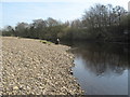

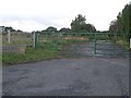
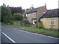
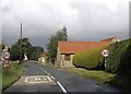
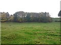
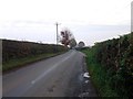
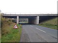
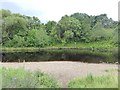

15 photos from this area
Area Information
Key information about the DL2 2QY including its size, population, and administrative classification.
- Area Type
- Postcode
- Area Size
- 83.7 hectares
- Population
- 1175
- Population Density
- 55 people/km²
House Prices in DL2 2QY
26
Properties
£413,921
Average Sold Price
£196,050
Lowest Price
£770,000
Highest Price
Showing 26 properties
| Address | Type | Beds | Baths | Last Sale Price | Last Sale Date | |
|---|---|---|---|---|---|---|
| Lime Tree Cottage, Moor Lane, Cleasby, DL2 2QY | Detached | 3 | 1 | £450,000 | Sep 2025 | |
| Greencroft, Cleasby To Stapleton, Cleasby, DL2 2QY | house | - | - | £770,000 | Mar 2025 | |
| Chapel House, Chapel Lane, Cleasby, DL2 2QY | house | - | - | £465,000 | Jul 2022 | |
| The Threshing Barn, Cleasby To Stapleton, Cleasby, DL2 2QY | house | - | - | £525,000 | May 2022 | |
| Corner House, Cleasby To Stapleton, Cleasby, DL2 2QY | house | - | - | £425,000 | Mar 2021 | |
| Cleasby House, Cleasby To Stapleton, Cleasby, DL2 2QY | Semi-detached | 6 | - | £505,000 | Oct 2019 | |
| Manor Cottage, Chapel Lane, Cleasby, DL2 2QY | Detached | 4 | 1 | £295,000 | Aug 2018 | |
| Hill View House, Cleasby To Stapleton, Cleasby, DL2 2QY | house | - | - | £555,000 | Jul 2016 | |
| Beech Cottage, Cleasby To Stapleton, Cleasby, DL2 2QY | Semi-detached | - | - | £240,000 | May 2014 | |
| Glenholme, Moor Lane, Cleasby, DL2 2QY | Detached | - | - | £325,000 | Sep 2003 |
Page 1 of 3
Energy Efficiency in DL2 2QY
Amenities
Schools
| Rank | School | Type | Entry gender | Ages |
|---|
Explore more schools in this area
Go to Schools tabDemographics
Household Size
Two person
most common
Accommodation Type
Houses
most common
Tenure
75
majority
Ethnic Group
White
most common
Religion
N/A
most common
Household Composition
N/A
most common
Age
47
median
Adults (30-64 years)
most common
Household Deprivation
N/A
with no deprivation
NS-SEC
41
in Lower managerial occupations
Explore more demographic insights in this area
Go to Demographics tabPlanning
Planning Constraints
- Flood RiskPremium
- Ramsar Wetland SitesPremium
- Area of Outstanding Natural BeautyPremium
- Protected Nature ReservePremium
- Protected WoodlandPremium