Area Overview for DL11 6BJ
Photos of DL11 6BJ
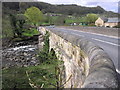
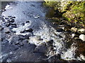
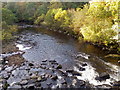
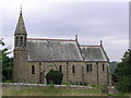
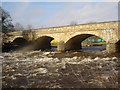
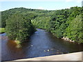
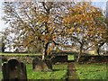
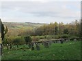
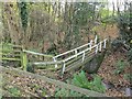
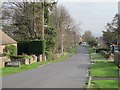
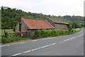
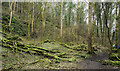
29 photos from this area
Area Information
Key information about the DL11 6BJ including its size, population, and administrative classification.
- Area Type
- Postcode
- Area Size
- 6.9 hectares
- Population
- 1078
- Population Density
- 5 people/km²
House Prices in DL11 6BJ
13
Properties
£286,524
Average Sold Price
£135,000
Lowest Price
£490,000
Highest Price
Showing 13 properties
| Address | Type | Beds | Baths | Last Sale Price | Last Sale Date | |
|---|---|---|---|---|---|---|
| Terry Cottage, Hudswell Lane, Hudswell, DL11 6BJ | house | - | - | £250,000 | Jul 2022 | |
| Wedgewood, Hudswell Lane, Hudswell, DL11 6BJ | Bungalow | - | - | £237,237 | May 2022 | |
| Myrtle Cottage, Hudswell Lane, Hudswell, DL11 6BJ | Bungalow | 1 | - | £135,000 | May 2021 | |
| Holme Farm Cottage, Hudswell Lane, Hudswell, DL11 6BJ | house | 4 | - | £368,000 | Nov 2014 | |
| Windyridge, Hudswell Lane, Hudswell, DL11 6BJ | house | - | - | £320,000 | Jun 2014 | |
| Weathervale, Hudswell Lane, Hudswell, DL11 6BJ | house | - | - | £140,000 | Dec 2013 | |
| Myrtle House, Hudswell Lane, Hudswell, DL11 6BJ | Semi-detached | 3 | - | £250,000 | Jun 2013 | |
| The Cottage, Hudswell Lane, Hudswell, DL11 6BJ | house | - | - | £205,000 | Apr 2012 | |
| Smallbeck, Hudswell Lane, Hudswell, DL11 6BJ | house | 5 | - | £470,000 | Dec 2011 | |
| Highfield House, Hudswell Lane, Hudswell, DL11 6BJ | Detached | 4 | 3 | £490,000 | Jul 2009 |
Page 1 of 2
Energy Efficiency in DL11 6BJ
Amenities
Schools
| Rank | School | Type | Entry gender | Ages |
|---|
Explore more schools in this area
Go to Schools tabDemographics
Household Size
Two person
most common
Accommodation Type
Houses
most common
Tenure
75
majority
Ethnic Group
White
most common
Religion
N/A
most common
Household Composition
N/A
most common
Age
47
median
Adults (30-64 years)
most common
Household Deprivation
N/A
with no deprivation
NS-SEC
35
in Lower managerial occupations
Explore more demographic insights in this area
Go to Demographics tabPlanning
Planning Constraints
- Flood RiskPremium
- Ramsar Wetland SitesPremium
- Area of Outstanding Natural BeautyPremium
- Protected Nature ReservePremium
- Protected WoodlandPremium