Area Overview for DL10 7RB
Photos of DL10 7RB
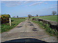
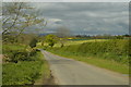
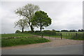
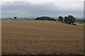
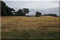
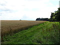
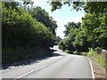
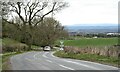
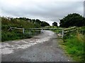
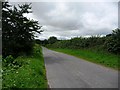
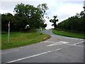
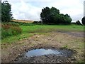
21 photos from this area
Area Information
Key information about the DL10 7RB including its size, population, and administrative classification.
- Area Type
- Postcode
- Area Size
- 1.1 km²
- Population
- 1811
- Population Density
- 56 people/km²
House Prices in DL10 7RB
14
Properties
£699,100
Average Sold Price
£140,000
Lowest Price
£1,472,300
Highest Price
Showing 14 properties
| Address | Type | Beds | Baths | Last Sale Price | Last Sale Date | |
|---|---|---|---|---|---|---|
| Burland House, Hawkswell Lane, Scotton, DL10 7RB | house | - | - | £1,472,300 | Nov 2020 | |
| Craggs Lane Cottage, Craggs Lane, Tunstall, DL10 7RB | house | 5 | 3 | £485,000 | Apr 2015 | |
| Elm Cottage, Craggs Lane, Tunstall, DL10 7RB | Detached | - | - | £140,000 | Jun 1996 | |
| The Granary, Craggs Lane Farm, Craggs Lane, Tunstall, DL10 7RB | Semi-detached | 5 | 3 | - | - | |
| Craggs Lane Farm, Craggs Lane, Tunstall, DL10 7RB | house | 5 | 3 | - | - | |
| The Hayloft, Craggs Lane Farm, Craggs Lane, Tunstall, DL10 7RB | Detached | - | - | - | - | |
| Belmont Farm, Craggs Lane, Tunstall, DL10 7RB | park_home | - | - | - | - | |
| The Byre, Craggs Lane Farm, Craggs Lane, Tunstall, DL10 7RB | Terraced | - | - | - | - | |
| New Farm House, Craggs Lane Farm, Craggs Lane, Tunstall, DL10 7RB | Terraced | - | - | - | - | |
| New Farm House, Hawkswell Lane, Scotton, DL10 7RB | undefined | - | - | - | - |
Page 1 of 2
Energy Efficiency in DL10 7RB
Amenities
Schools
| Rank | School | Type | Entry gender | Ages |
|---|
Explore more schools in this area
Go to Schools tabDemographics
Household Size
Two person
most common
Accommodation Type
Houses
most common
Tenure
68
majority
Ethnic Group
White
most common
Religion
N/A
most common
Household Composition
N/A
most common
Age
47
median
Adults (30-64 years)
most common
Household Deprivation
N/A
with no deprivation
NS-SEC
36
in Lower managerial occupations
Explore more demographic insights in this area
Go to Demographics tabPlanning
Planning Constraints
- Flood RiskPremium
- Ramsar Wetland SitesPremium
- Area of Outstanding Natural BeautyPremium
- Protected Nature ReservePremium
- Protected WoodlandPremium