Area Overview for BD9 6SN
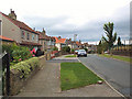
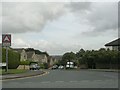
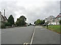
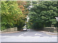
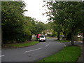
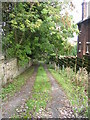
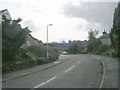
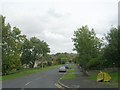
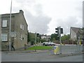
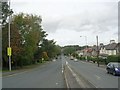
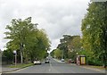
Photos of BD9 6SN

Area Information
Living in BD9 6SN means being part of a compact, densely populated residential cluster in the City of Bradford, West Yorkshire. With 2,154 residents spread across 1.14 km², the area reflects a tight-knit community where historical and modern elements intersect. The name “Heaton” derives from Anglo-Saxon “high farmstead,” a legacy of its 12th-century origins and 19th-century development as a civil parish. Today, the area’s character is shaped by its proximity to Chellow Heights Reservoir and the remnants of 19th-century infrastructure like St Barnabas Church and Heaton Hall. Daily life here balances suburban tranquillity with access to nearby towns, supported by rail links to Frizinghall, Shipley, and Saltaire. The population’s median age of 47 and a majority of adults aged 30–64 suggest a stable, mature demographic, with 69% of homes owned outright. This mix of history, density, and connectivity makes BD9 6SN a distinctive spot in Bradford’s urban fabric.
- Area Type
- Postcode
- Area Size
- Not available
- Population
- 2154
- Population Density
- 1885 people/km²
The property market in BD9 6SN is dominated by owner-occupied homes, with 69% of properties owned outright. This contrasts with areas where rental demand drives market dynamics, suggesting a community of long-term residents rather than transient tenants. The accommodation type is almost exclusively houses, not flats or apartments, which is typical of suburban settings with lower density. Given the area’s small size and high population density (1,885 people per km²), the housing stock is likely limited to a few distinct clusters. Buyers should consider that the market may be competitive, with limited scope for new developments due to planning constraints. The focus on owner-occupied homes also means rental options are scarce, which could be a consideration for those seeking flexibility. For those prioritising family homes, the predominance of houses offers space and privacy, though the area’s size means proximity to amenities and transport is key.
House Prices in BD9 6SN
No properties found in this postcode.
Energy Efficiency in BD9 6SN
Life in BD9 6SN is characterised by a blend of suburban convenience and historical charm. Nearby amenities include retail options such as Co-op High, M&S Bradford, and Tesco Bradford, ensuring daily necessities are within reach. The area’s rail and metro stations connect residents to broader networks, enabling access to cultural, leisure, and employment opportunities in nearby towns. While the immediate vicinity lacks large parks or recreational facilities, the proximity to Chellow Heights Reservoir and the historic Heaton Estate conservation area offers green spaces for walks or relaxation. The presence of listed buildings and 19th-century infrastructure, such as St Barnabas Church, adds a layer of heritage to everyday life. The compact nature of the area means residents can access shops, transport, and community hubs without long commutes, fostering a sense of local cohesion.
Amenities
Schools
The nearest school to BD9 6SN is Heaton St Barnabas’ CofE Aided Primary School, a primary institution with a good Ofsted rating. This school serves the local community, offering education for younger children in a setting that combines religious affiliation with state-funded resources. The absence of secondary schools in the immediate vicinity means families may need to look further afield for high school options, though the area’s rail links to Shipley and Saltaire provide access to larger towns with more comprehensive educational facilities. The presence of a well-rated primary school is a significant draw for families, as it suggests a commitment to local education quality. However, the lack of secondary schooling nearby could influence decisions about long-term residency, particularly for households with older children.
| Rank | School | Type | Entry gender | Ages |
|---|
Explore more schools in this area
Go to Schools tabDemographics
BD9 6SN’s population of 2,154 is predominantly composed of adults aged 30–64, with a median age of 47. This suggests a community rooted in middle-aged stability, with fewer young families or retirees compared to other areas. Home ownership is high at 69%, indicating a strong presence of long-term residents. The area’s accommodation is almost entirely houses, not flats, which aligns with its suburban character. The predominant ethnic group is Asian_total, reflecting broader demographic trends in Bradford. While specific deprivation data is not provided, the high home ownership rate and low crime score (67/100) imply a relatively secure, self-sufficient community. The absence of detailed diversity metrics means the area’s cultural composition remains less defined, but its historical ties to agricultural estates and 19th-century development suggest a heritage that continues to influence its social fabric.
Household Size
Accommodation Type
Tenure
Ethnic Group
Religion
Household Composition
Age
Household Deprivation
NS-SEC
Explore more demographic insights in this area
Go to Demographics tabPlanning
Planning Constraints
- Flood RiskPremium
- Ramsar Wetland SitesPremium
- Area of Outstanding Natural BeautyPremium
- Protected Nature ReservePremium
- Protected WoodlandPremium