Area Overview for BD9 6JU
Photos of BD9 6JU
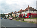
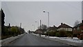
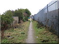
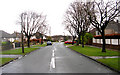
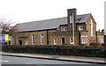
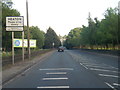
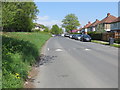

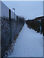
94 photos from this area
Area Information
Key information about the BD9 6JU including its size, population, and administrative classification.
- Area Type
- Postcode
- Area Size
- 1.0 hectares
- Population
- 2273
- Population Density
- 6425 people/km²
House Prices in BD9 6JU
24
Properties
£67,743
Average Sold Price
£25,300
Lowest Price
£94,500
Highest Price
Showing 24 properties
| Address | Type | Beds | Baths | Last Sale Price | Last Sale Date | |
|---|---|---|---|---|---|---|
| 116 Walden Drive, Bradford, BD9 6JU | Semi-detached | 2 | 1 | £60,000 | Jan 2024 | |
| 100 Walden Drive, Bradford, BD9 6JU | house | - | - | £94,500 | Nov 2021 | |
| 101 Walden Drive, Bradford, BD9 6JU | house | 3 | 1 | £50,000 | Oct 2018 | |
| 118 Walden Drive, Bradford, BD9 6JU | house | - | - | £58,500 | Dec 2016 | |
| 108 Walden Drive, Bradford, BD9 6JU | house | - | - | £40,000 | Sep 2015 | |
| 107 Walden Drive, Bradford, BD9 6JU | house | - | - | £85,000 | Feb 2014 | |
| 122 Walden Drive, Bradford, BD9 6JU | house | - | - | £80,000 | Aug 2011 | |
| 97 Walden Drive, Bradford, BD9 6JU | house | - | - | £82,875 | Jun 2010 | |
| 105 Walden Drive, Bradford, BD9 6JU | Semi-detached | 2 | 1 | £90,000 | Mar 2007 | |
| 89 Walden Drive, Bradford, BD9 6JU | house | - | - | £79,000 | Dec 2006 |
Page 1 of 3
Energy Efficiency in BD9 6JU
Amenities
Schools
| Rank | School | Type | Entry gender | Ages |
|---|
Explore more schools in this area
Go to Schools tabDemographics
Household Size
Family (3-5 people)
most common
Accommodation Type
Houses
most common
Tenure
55
majority
Ethnic Group
asian_total
most common
Religion
N/A
most common
Household Composition
N/A
most common
Age
22
median
Adults (30-64 years)
most common
Household Deprivation
N/A
with no deprivation
NS-SEC
18
in Lower managerial occupations
Explore more demographic insights in this area
Go to Demographics tabPlanning
Planning Constraints
- Flood RiskPremium
- Ramsar Wetland SitesPremium
- Area of Outstanding Natural BeautyPremium
- Protected Nature ReservePremium
- Protected WoodlandPremium