Area Overview for BD8 8JS
Photos of BD8 8JS
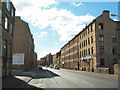
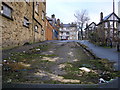
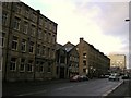
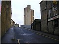
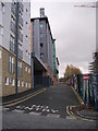
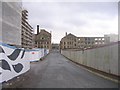
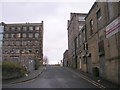
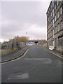
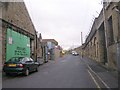
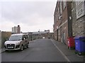
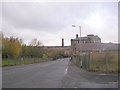
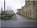
100 photos from this area
Area Information
Key information about the BD8 8JS including its size, population, and administrative classification.
- Area Type
- Postcode
- Area Size
- 7018 m²
- Population
- 2304
- Population Density
- 7202 people/km²
House Prices in BD8 8JS
13
Properties
£78,333
Average Sold Price
£20,000
Lowest Price
£115,000
Highest Price
Showing 13 properties
| Address | Type | Beds | Baths | Last Sale Price | Last Sale Date | |
|---|---|---|---|---|---|---|
| 4 Bilton Place, Bradford, BD8 8JS | house | 4 | 1 | £60,000 | Aug 2020 | |
| 24 Bilton Place, Bradford, BD8 8JS | Terraced | 4 | 1 | £70,000 | Aug 2019 | |
| 18 Bilton Place, Bradford, BD8 8JS | house | 4 | - | £115,000 | Oct 2007 | |
| 14 Bilton Place, Bradford, BD8 8JS | house | - | - | £105,000 | May 2007 | |
| 16 Bilton Place, Bradford, BD8 8JS | house | 4 | - | £115,000 | May 2007 | |
| 2 Bilton Place, Bradford, BD8 8JS | house | - | - | £95,000 | Apr 2005 | |
| 20 Bilton Place, Bradford, BD8 8JS | house | - | - | £90,000 | Feb 2005 | |
| 12 Bilton Place, Bradford, BD8 8JS | house | - | - | £20,000 | Jul 2003 | |
| 26 Bilton Place, Bradford, BD8 8JS | house | - | - | £35,000 | Jul 2000 | |
| 10 Bilton Place, Bradford, BD8 8JS | house | - | - | - | - |
Page 1 of 2
Energy Efficiency in BD8 8JS
Amenities
Schools
| Rank | School | Type | Entry gender | Ages |
|---|
Explore more schools in this area
Go to Schools tabDemographics
Household Size
Family (3-5 people)
most common
Accommodation Type
Houses
most common
Tenure
36
majority
Ethnic Group
asian_total
most common
Religion
N/A
most common
Household Composition
N/A
most common
Age
22
median
Adults (30-64 years)
most common
Household Deprivation
N/A
with no deprivation
NS-SEC
11
in Lower managerial occupations
Explore more demographic insights in this area
Go to Demographics tabPlanning
Planning Constraints
- Flood RiskPremium
- Ramsar Wetland SitesPremium
- Area of Outstanding Natural BeautyPremium
- Protected Nature ReservePremium
- Protected WoodlandPremium